Silla Q'asa, Tunari National Park
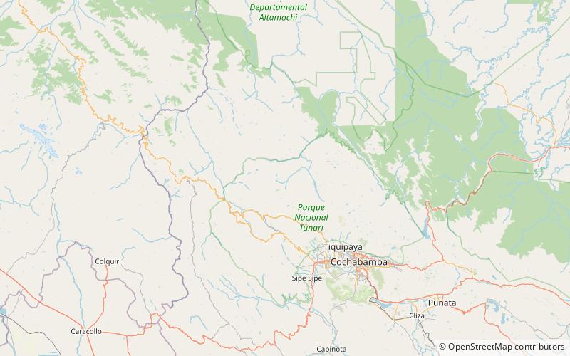
Map
Facts and practical information
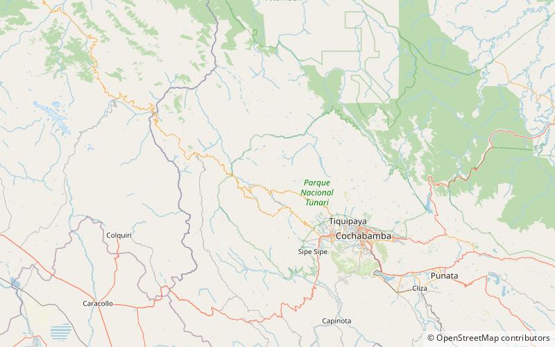
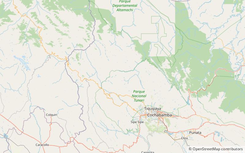
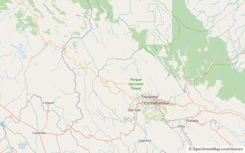
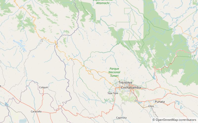
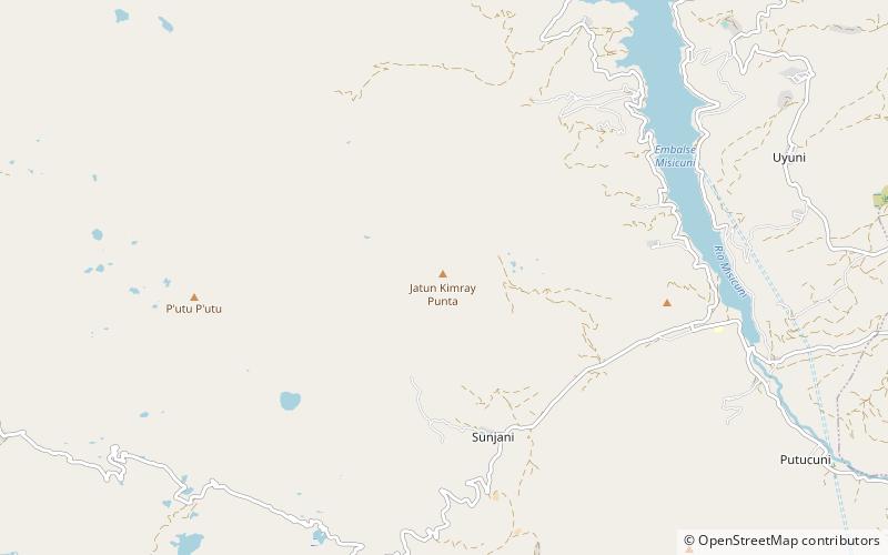
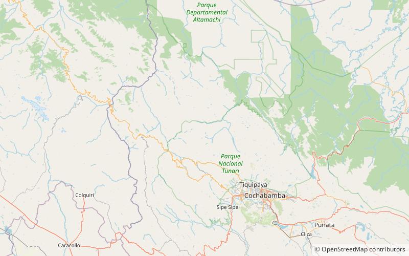
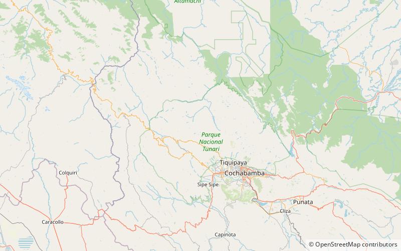
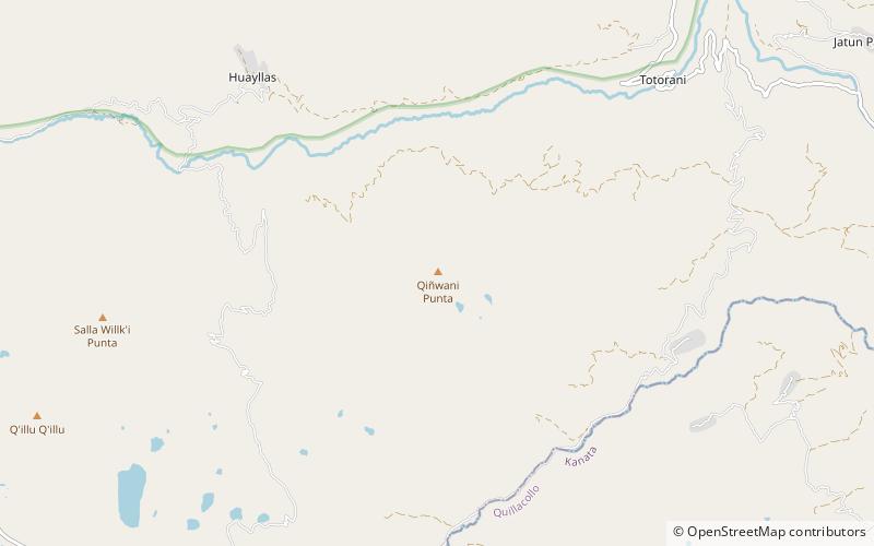
Silla Q'asa is a mountain in the Bolivian Andes which reaches a height of approximately 4,480 m. It is located in the Cochabamba Department, Ayopaya Province, Morochata Municipality. It lies southeast and east of the lakes named Q'umir Qucha, Yana Qucha, Parinani and Wallatani. ()
Elevation: 14698 ftCoordinates: 17°5'12"S, 66°26'33"W
Address
Tunari National Park
ContactAdd
Social media
Add
Day trips
Silla Q'asa – popular in the area (distance from the attraction)
Nearby attractions include: Liqiliqini, Q'illu Q'illu, Sankayuni, Jatun Yuraq Q'asa.
