Liqiliqini, Tunari National Park
Map
Facts and practical information
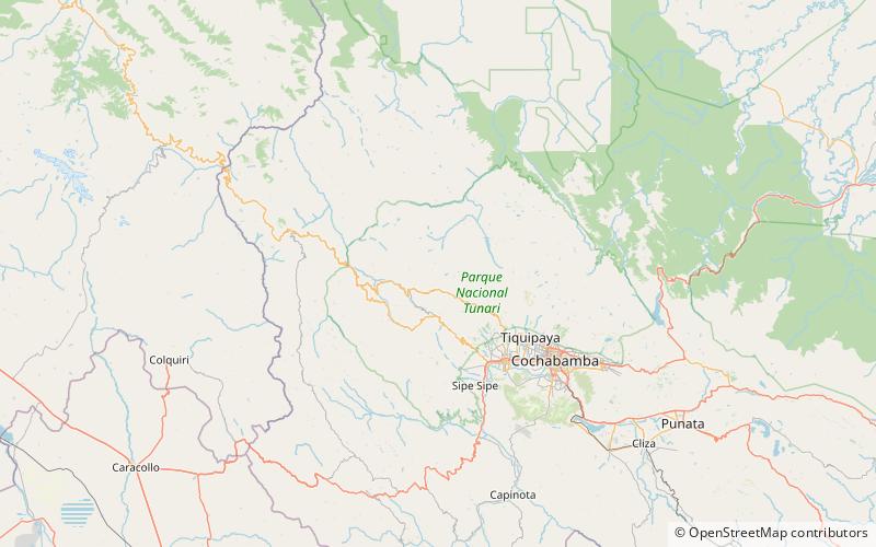
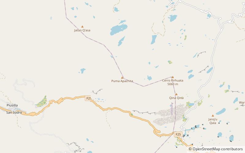
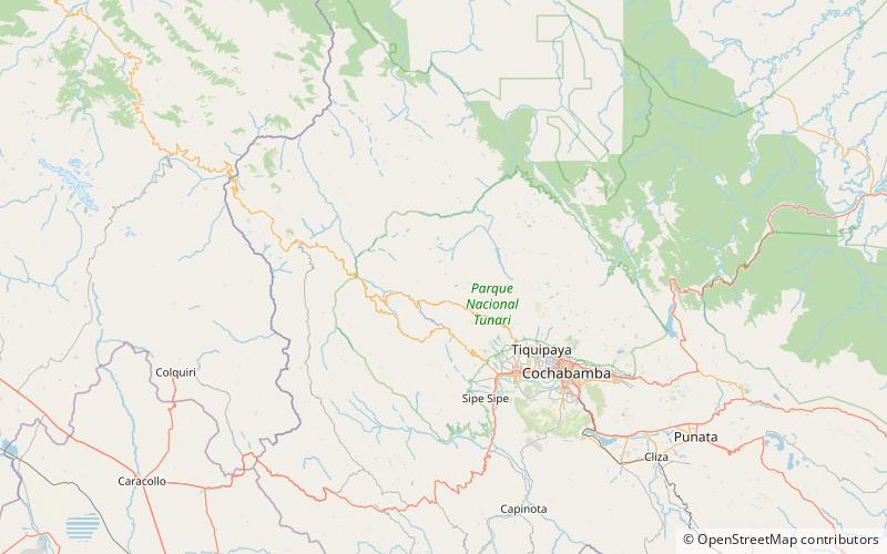
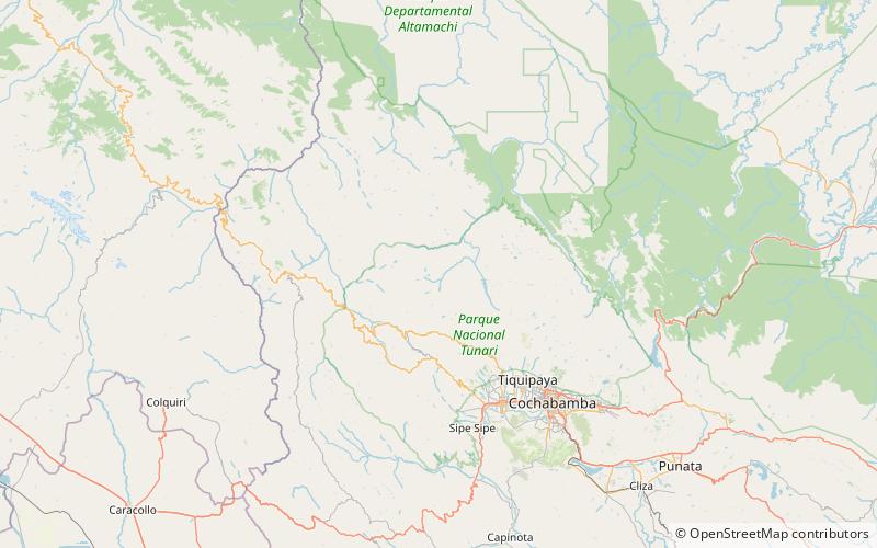
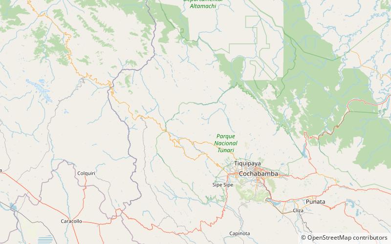
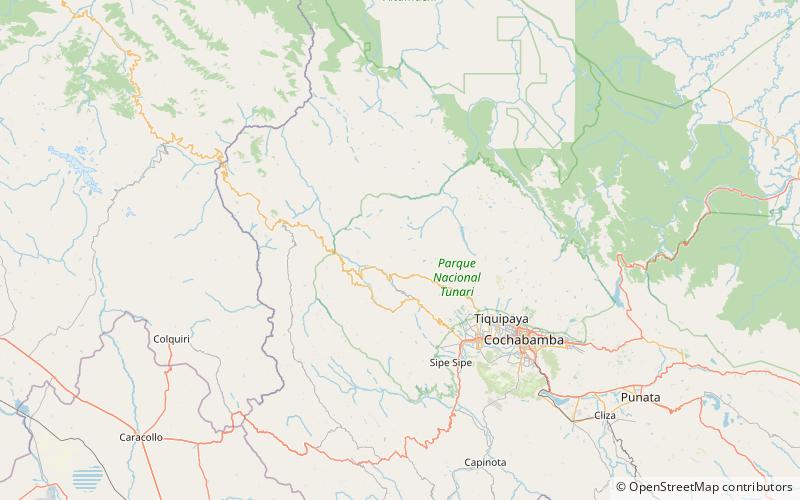
Liqiliqini is a mountain in the Bolivian Andes which reaches a height of approximately 4,400 m. It is located in the Cochabamba Department, Ayopaya Province, Morochata Municipality. It lies east of the village of Paranani. ()
Elevation: 14436 ftCoordinates: 17°9'36"S, 66°29'49"W
Address
Tunari National Park
ContactAdd
Social media
Add
Day trips