São Caetano do Sul, Santo André
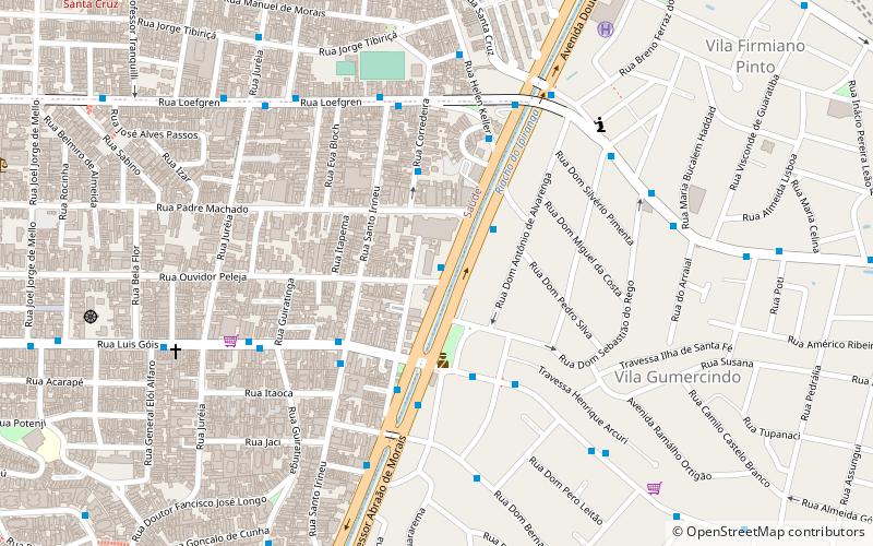
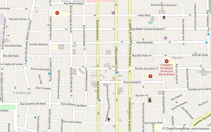
Map
Map

Facts and practical information
São Caetano do Sul is a city in São Paulo state in Brazil. It is part of the Metropolitan Region of São Paulo. The population is 161,957 in an area of 15.33 km2. It is the city with the highest per capita income in Brazil and it also has the highest Human Development Index. ()
Best Ways to Experience the City
Food & drink
CuisineA guide to some of the best local dishes and drinks that you will meet in the region.
More
Show more
Day trips
São Caetano do Sul – popular in the area (distance from the attraction)
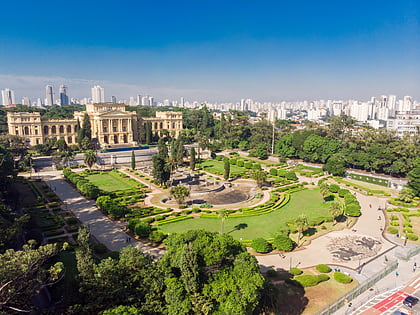
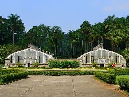
Nearby attractions include: Museu Paulista, São Paulo Zoo, Museum of Zoology of the University of São Paulo, Shopping ABC.
Frequently Asked Questions (FAQ)
Which popular attractions are close to São Caetano do Sul?
Nearby attractions include Matriz Sagrada Família, Santo André (16 min walk), Estádio Anacleto Campanella, Santo André (20 min walk), Catarina Scarparo D'Agostini Park, Santo André (23 min walk).
How to get to São Caetano do Sul by public transport?
The nearest stations to São Caetano do Sul:
Bus
Train
Bus
- Terminal Rodoviário Nicolau Delic - Modulo I (22 min walk)
- Terminal Rodoviário Nicolau Delic Módulo II (23 min walk)
Train
- São Caetano do Sul - Prefeito Walter Braido (23 min walk)


