Sé, São Paulo

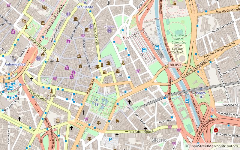
Map
Facts and practical information
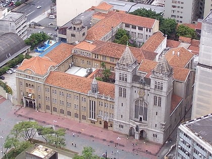
Sé is the name of the most central borough in the city of São Paulo, in Brazil, divided in eight districts. The name comes from the presence of São Paulo Cathedral in the borough, and it is also the name of the central square. Also located in the Sé are the Pátio do Colégio, site of the foundation of the city in 1554, the São Paulo stock exchange, the mayor's palace and other historical buildings, including the Municipal Theater of São Paulo, the São Paulo Music Hall and the central railway Luz Station. ()
Address
SéSão Paulo
ContactAdd
Social media
Add
Day trips
Sé – popular in the area (distance from the attraction)
Nearby attractions include: Rua 25 de Março, Centro Cultural Banco do Brasil, São Paulo Cathedral, Museu Anchieta.
Frequently Asked Questions (FAQ)
Which popular attractions are close to Sé?
Nearby attractions include Solar da Marquesa, São Paulo (1 min walk), Casa da Imagem, São Paulo (2 min walk), Pátio do Colégio, São Paulo (2 min walk), Igreja da Ordem Terceira do Carmo, São Paulo (3 min walk).
How to get to Sé by public transport?
The nearest stations to Sé:
Bus
Trolleybus
Metro
Train
Bus
- Rua Doutor Bittencourt Rodrigues, 112 • Lines: 4114-10, 475R-10, 5108-10, 5111-10, 5131-10, 5185-10, 5300-10, 908T-10, N601-11 (2 min walk)
- Parada Roberto Simonsen • Lines: 4114-10, 475R-10, 5111-10, 5131-10, 5185-10, 5290-10, 5300-10, 908T-10 (3 min walk)
Trolleybus
- Stop • Lines: 2100-10 (3 min walk)
- Praça Da Se, 21 • Lines: 2100-10 (3 min walk)
Metro
- Sé • Lines: 1, 3 (4 min walk)
- São Bento • Lines: 1 (9 min walk)
Train
- Brás (26 min walk)
- Júlio Prestes (32 min walk)
 Metro / Suburban rail


