Caminho das Árvores, Salvador

Map
Facts and practical information
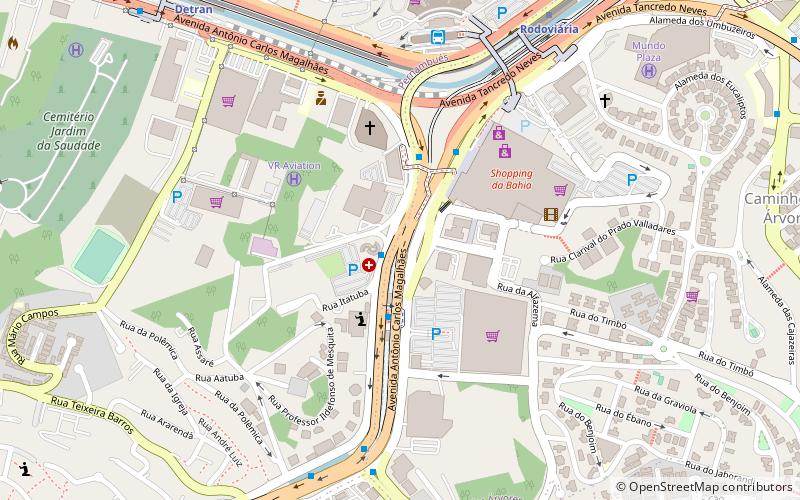
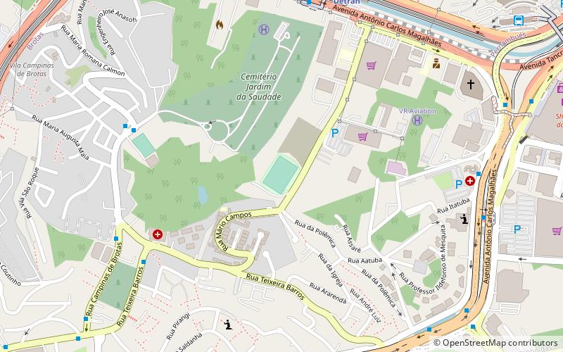
Caminho das Árvores is a neighborhood located in the southeastern zone of Salvador, Bahia in Brazil. This neighborhood is a mixed of residential and trade area, with majority presence of wealthy classes. ()
Address
BrotasSalvador
ContactAdd
Social media
Add
Day trips
Caminho das Árvores – popular in the area (distance from the attraction)
Nearby attractions include: Salvador Shopping, Parque Costa Azul, Shopping Bela Vista, Itaigara.
Frequently Asked Questions (FAQ)
How to get to Caminho das Árvores by public transport?
The nearest stations to Caminho das Árvores:
Bus
Metro
Train
Bus
- Terminal de Ônibus da Rodoviária (8 min walk)
- National/International Bus Shuttle Station (10 min walk)
Metro
- Rodoviária • Lines: 2 (11 min walk)
- Detran • Lines: 2 (13 min walk)
Train
- Detran (13 min walk)
- Bonocô (30 min walk)


