Consolação, São Paulo
Map
Facts and practical information
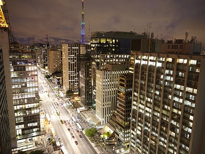
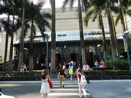
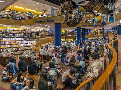
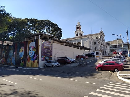
Consolação is a district in the central part of the city of São Paulo, Brazil. It belongs to the subprefecture of Sé. The district is largely residential, and contains many large apartment buildings and condominiums. It is also known for its prominent cultural institutions. The region has been populated since the 16th century, and is known for its buildings in the style of São Paulo Modern Architecture. ()
Address
Sé (Consolação)São Paulo
ContactAdd
Social media
Add
Day trips
Consolação – popular in the area (distance from the attraction)
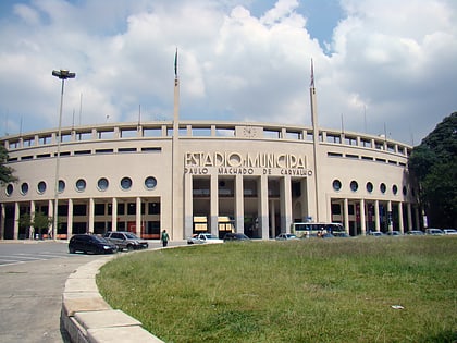
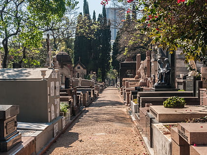
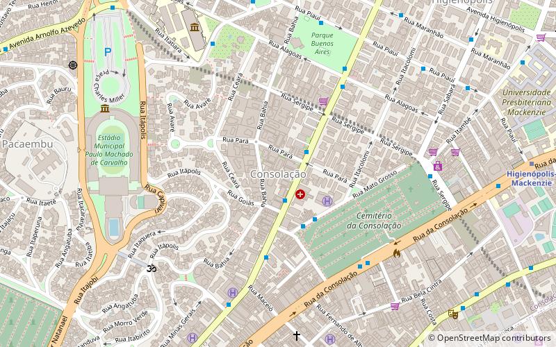
Nearby attractions include: Paulista Avenue, São Paulo Museum of Art, Pacaembu Stadium, Cemitério da Consolação.
Frequently Asked Questions (FAQ)
Which popular attractions are close to Consolação?
Nearby attractions include Cemitério da Consolação, São Paulo (6 min walk), Protestant Cemetery, São Paulo (7 min walk), Parque Buenos Aires, São Paulo (9 min walk), Congregação Israelita Paulista, São Paulo (10 min walk).
How to get to Consolação by public transport?
The nearest stations to Consolação:
Bus
Metro
Trolleybus
Bus
- Avenida Angélica, 2016 • Lines: 177H-10, 177H-21, 508L-10, 719R-10, 874T-10 (2 min walk)
- Rua Mato Grosso, 388 • Lines: 7245-10 (3 min walk)
Metro
- Paulista • Lines: 4 (12 min walk)
- Higienópolis-Mackenzie • Lines: 4 (13 min walk)
Trolleybus
- Rua Professor João Arruda, 57 • Lines: 408A-10 (23 min walk)
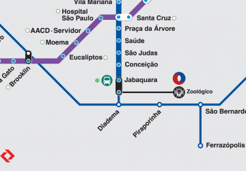 Metro / Suburban rail