Road Harbour, Road Town
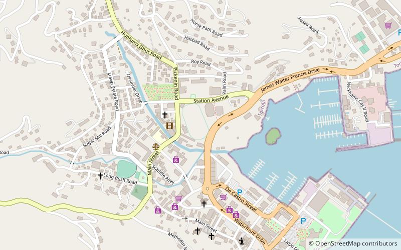
Map
Facts and practical information
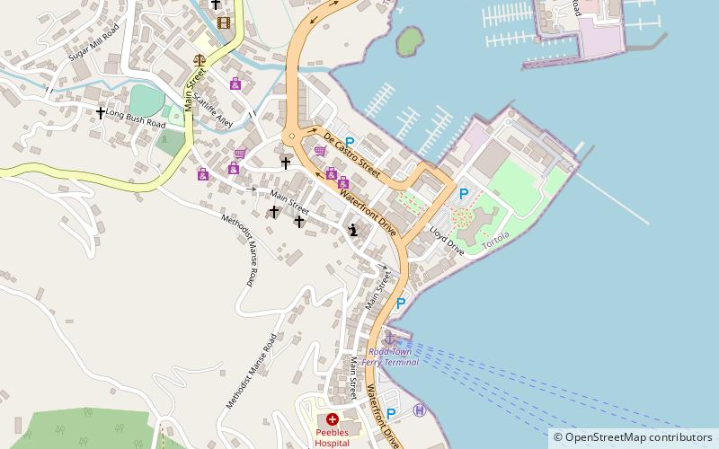
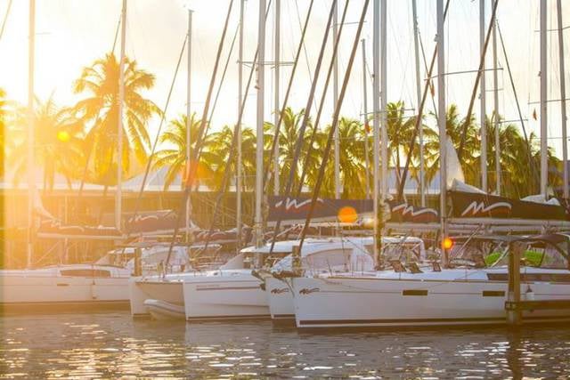
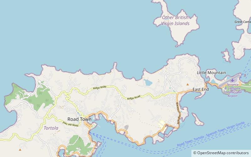
Road Harbour, located in Road Town, Tortola, is the commercial seaport of the British Virgin Islands. There are a number of smaller marinas around the harbour, such as the Road Reef Marina and the Fort Burt Marina, an overnight small boat anchorage, customs and immigration offices. Inter island ferries stop at the ferry dock on the NW edge of Road Harbour next to Customs. Road Harbour is deep and large enough to handle many of the cruise ships that make Tortola a port of call. ()
Coordinates: 18°25'60"N, 64°37'0"W
Address
Road Town
ContactAdd
Social media
Add
Day trips


Frequently Asked Questions (FAQ)
Which popular attractions are close to Road Harbour?
Nearby attractions include The Moorings Marina, Road Town (12 min walk), Fort George, Road Town (21 min walk), St. William's Church, Road Town (22 min walk).