Fort George, Road Town

Gallery (1)
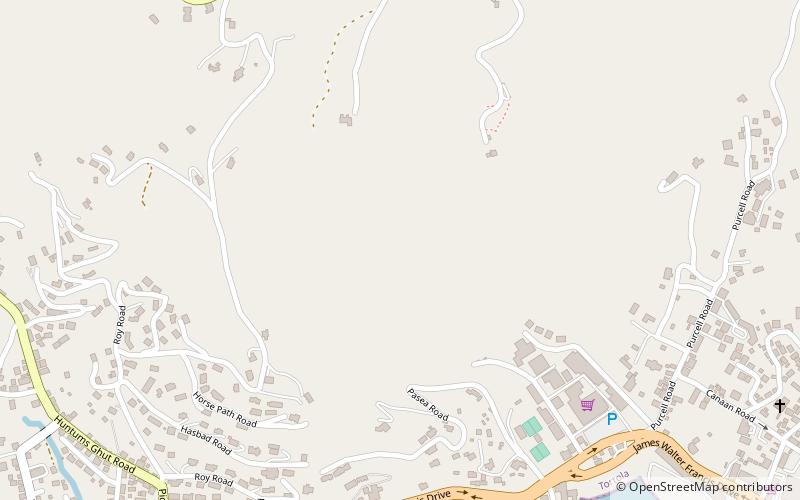
Map
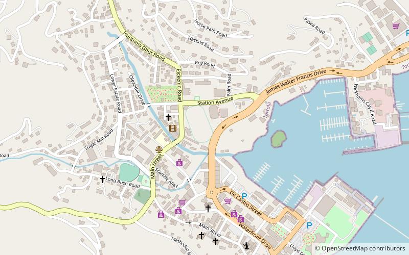
Map
Facts and practical information
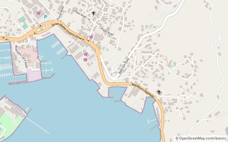
Fort George is a colonial fort which was erected on the northeast edge of Road Town, Tortola in the British Virgin Islands above Baugher's Bay. The site is now a ruin. ()
Address
Road Town
ContactAdd
Social media
Add
Day trips


Frequently Asked Questions (FAQ)
Which popular attractions are close to Fort George?
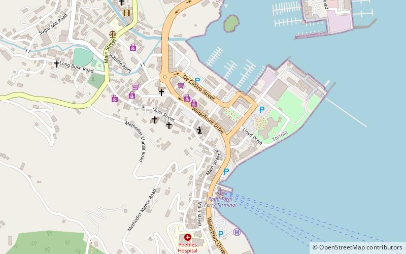
Nearby attractions include The Moorings Marina, Road Town (15 min walk), Road Harbour, Road Town (21 min walk), St. William's Church, Road Town (22 min walk).