Trek Zone

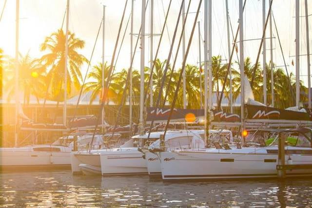
Cane Garden Bay, Tortola

#1 among attractions in Tortola

Beach, Body of water, Outdoor activities, Park
Cane Garden Bay location map
Map

Facts and practical information

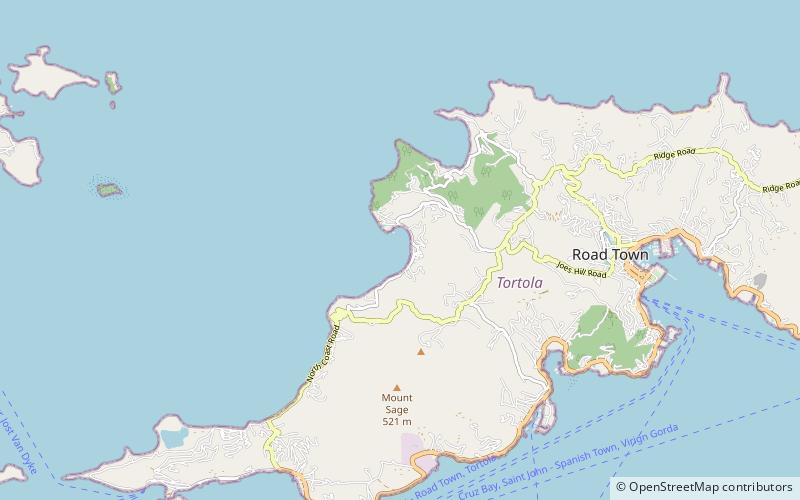
Cane Garden Bay (address: Cane Garden Bay Rd) is a place located in Tortola (Tortola district) and belongs to the category of beach, body of water, outdoor activities.

It is situated at an altitude of 20 feet, and its geographical coordinates are 18°25'35"N latitude and 64°39'34"W longitude.

Among other places and attractions worth visiting in the area are: Mount Healthy windmill (ruins, 46 min walk), Mount Sage National Park (natural attraction, 50 min walk), Fort Purcell (ruins, 60 min walk).

Elevation: 20 ft a.s.l.Coordinates: 18°25'35"N, 64°39'34"W
Address

Cane Garden Bay RdTortola British Virgin Islands

ContactAdd
Social media
Add
Day trips

Cane Garden Bay – popular in the area (distance from the attraction)

Nearby attractions include: St. William's Church, Mount Sage National Park, The Moorings Marina, Long Beach.

  • st williams church road town location map
    2.7 miE
  • mount sage national park tortola1.9 miS
  • the moorings marina road town2.9 miE
  • long beach tortola location map
    2.9 miSW
  • bvi yacht charters road town location map
    3.2 miE
  • fort recovery tortola3 miS
  • sopers hole wharf marina location map
    4.1 miSW
  • cooper bay ruin tortola3.2 miNE
  • tortola pier park road town location map
    3 miE
  • nanny cay marina tortola location map
    2.4 miSE
  • fort charlotte tortola2.5 miE

Where to next? Visit tortola Tortola region page or discover the top tourist attractions in British Virgin Islands.