Mount Sage National Park, Tortola

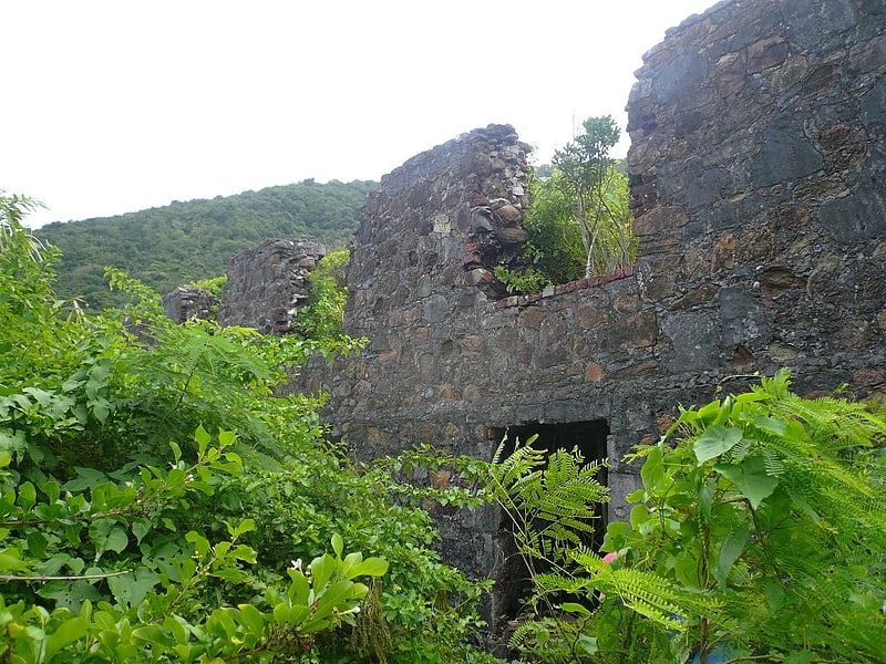
Gallery (2)
Map
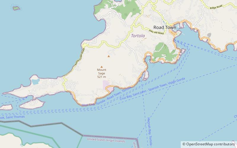
Map
Gallery
Facts and practical information
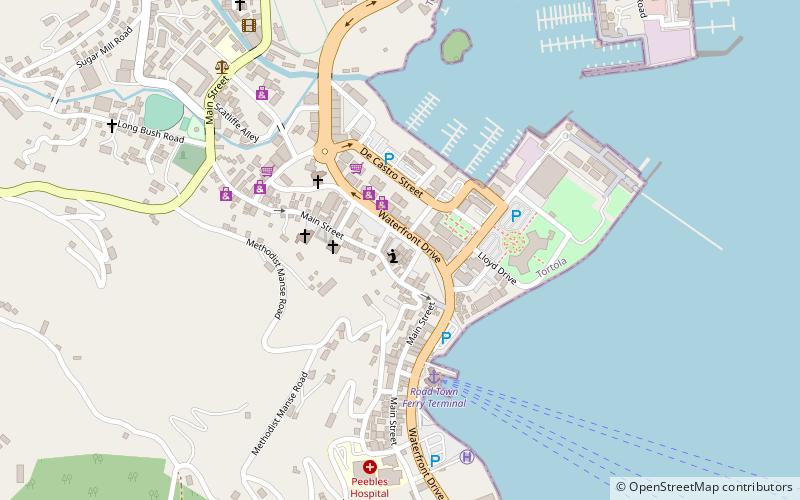
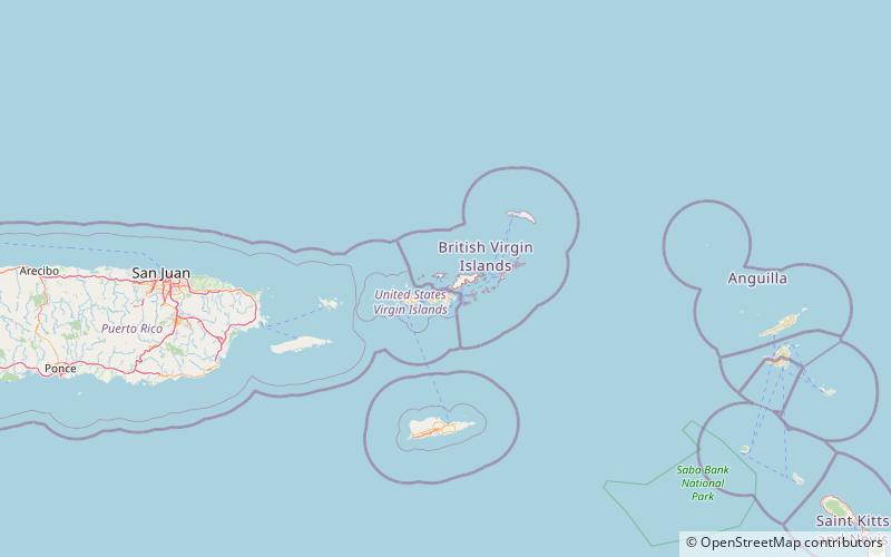
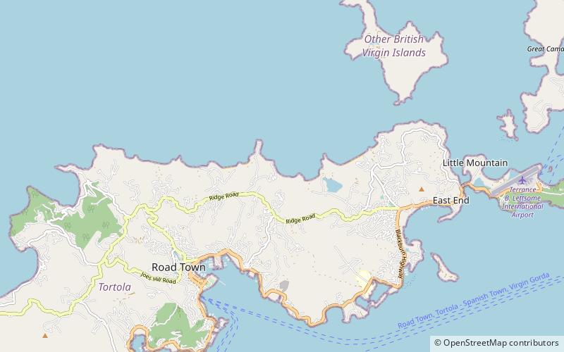
Mount Sage National Park is a protected area of the British Virgin Islands. It is named after the highest peak of the island of Tortola, Mount Sage. The Mount Sage volcanic peak rises to a height of 1,716 feet, and is thus the highest point in all of the Virgin Islands. The park is located to the southwest of the island group's capital, Road Town. The park, which includes the mountain range, extends over an area of 96 acres. The vegetation is of semi-rain forest type. There are many trails for trekking and hiking. ()
Established: 1964 (62 years ago)Area: 86 acres (0.1344 mi²)Elevation: 1076 ft a.s.l.Coordinates: 18°24'0"N, 64°39'0"W
Day trips