Trek Zone

St. Phillip's Anglican Church, Tortola
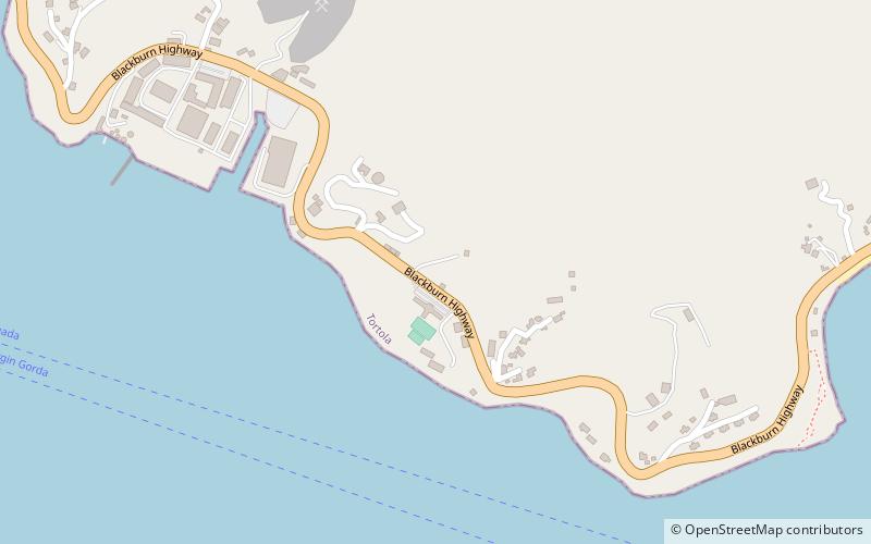
#10 among attractions in Tortola

Church
St. Phillip's Anglican Church location map
Map

Facts and practical information

Coordinates: 18°24'58"N, 64°35'42"W
Address

Tortola British Virgin Islands

ContactAdd
Social media
Add
Day trips

St. Phillip's Anglican Church – popular in the area (distance from the attraction)

Nearby attractions include: St. William's Church, Mount Sage National Park, The Moorings Marina, Fort Recovery.

  • st williams church road town location map
    1.6 miW
  • mount sage national park tortola3.8 miW
  • the moorings marina road town1.5 miNW
  • fort recovery tortola5.7 miW
  • cooper bay ruin tortola2.7 miNW
  • fort charlotte tortola1.9 miW
  • fort george road town1 miNW
  • fort purcell tortola4 miSW
  • queen elizabeth ii bridge3.3 miNE
  • cooten bay ruin tortola location map
    2.1 miN
  • government house road town1.5 miW

Where to next? Visit tortola Tortola region page or discover the top tourist attractions in British Virgin Islands.