Sandy Cay
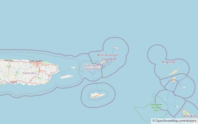
Map
Facts and practical information
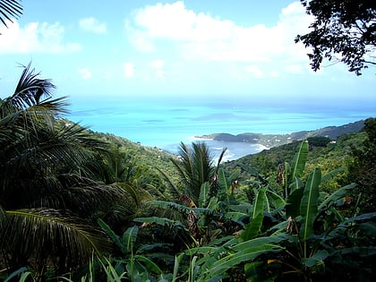
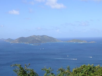
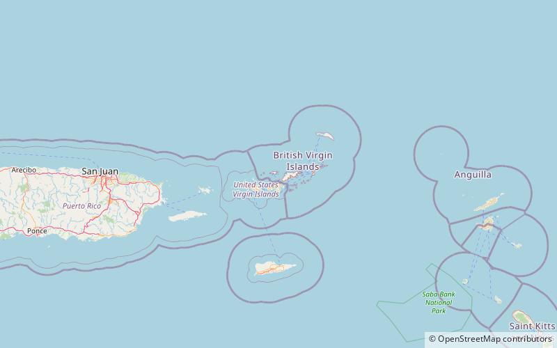
Sandy Cay is an uninhabited island of the British Virgin Islands in the Caribbean. It is located between Tortola and Jost Van Dyke. The island was owned by the Laurance Rockefeller Estate. On 1 May 2008, ownership of the island was transferred to the National Parks Trust of the Virgin Islands. In 2002, International NGO, Island Resources Foundation led a project to eradicate invasive black rats from the island. ()
Archipelago: Virgin IslandsCoordinates: 18°26'10"N, 64°42'34"W
Location
Jost Van Dyke
ContactAdd
Social media
Add
Day trips
Sandy Cay – popular in the area (distance from the attraction)
Nearby attractions include: Mount Sage National Park, Fort Recovery, Diamond Cay, Fort Purcell.
