Road Town Fort, Road Town
Gallery (2)
Map
Map
Gallery
Facts and practical information
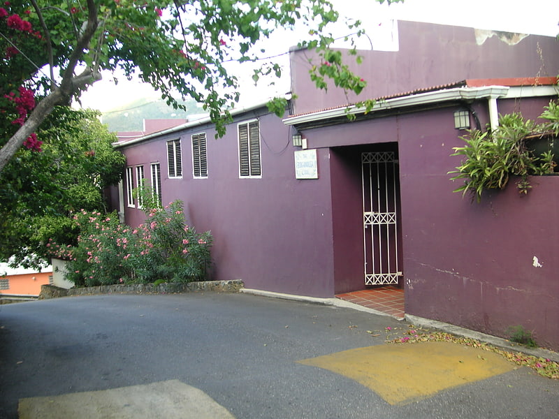
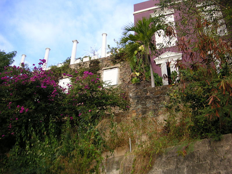
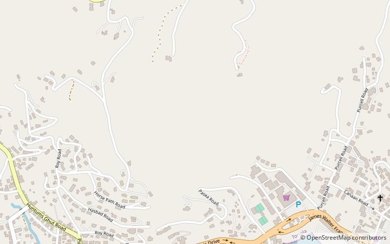
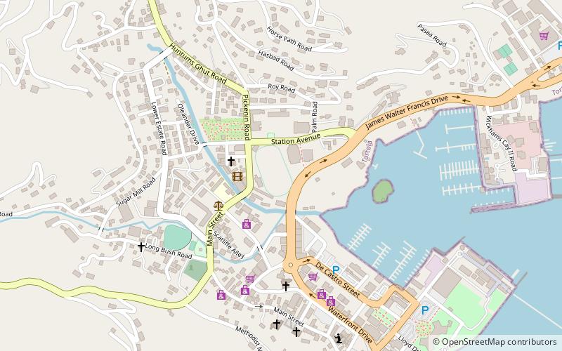
Road Town Fort is a colonial fort which was erected on Russell Hill in Road Town, Tortola in the British Virgin Islands above the town's main wharf. In historical records it is sometimes referred to as Fort Road Town. The fort subsequently fell into ruin, and in the 1960s the Bougainvillea clinic was built on top of the old structure. The strong room of the original fort, which was once the Territory's treasury, still survives today, and is now used as a storeroom by the clinic. ()
Coordinates: 18°25'13"N, 64°37'6"W
Address
Road Town
ContactAdd
Social media
Add
Day trips


Frequently Asked Questions (FAQ)
Which popular attractions are close to Road Town Fort?
Nearby attractions include St. William's Church, Road Town (3 min walk), Government House, Road Town (8 min walk), The Moorings Marina, Road Town (13 min walk), Fort Charlotte, Tortola (15 min walk).