Zlatnite Mostove, Sofia
Map

Map

Facts and practical information
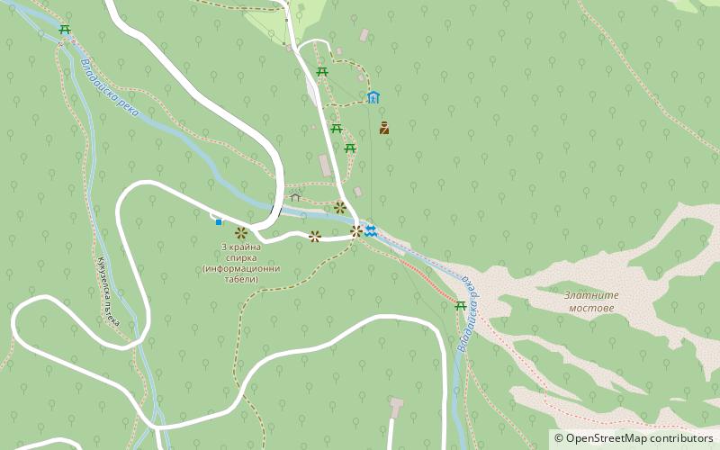
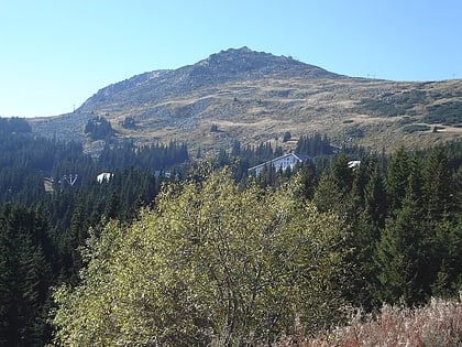
Zlatnite Mostove is the largest stone river on Vitosha Mountain, Bulgaria. The feature is situated in the valley of Vladayska River, extending 2.2 km, and up to 150 m wide, with several ‘tributary’ stone rivers. The stone river is ‘descending’ from elevation 1800 m above sea level in Boeritsa Chalet area to 1410 m at Zlatnite Mostove site. The lower extremity of the stone river is known as Zlatnite Mostove site, a popular tourist destination accessible from Sofia by road. ()
Local name: Златните мостовеCoordinates: 42°36'35"N, 23°14'21"E
Address
Витоша (Vitosa)Sofia
ContactAdd
Social media
Add
Day trips
Zlatnite Mostove – popular in the area (distance from the attraction)
Nearby attractions include: Aleko, Boyana Church, Bulgaria Mall, Boyana Waterfall.
Frequently Asked Questions (FAQ)
How to get to Zlatnite Mostove by public transport?
The nearest stations to Zlatnite Mostove:
Bus
Bus
- Zlatnite mostove • Lines: 63 (5 min walk)
- Detski statsionar • Lines: 63 (28 min walk)


