Tsarigradsko shose, Sofia
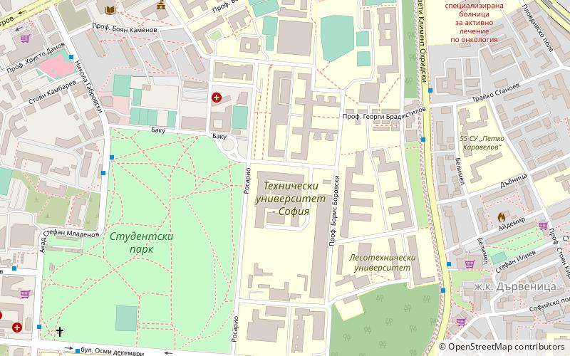
Map
Gallery
Facts and practical information
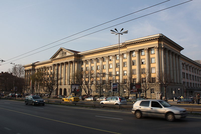
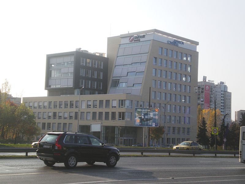
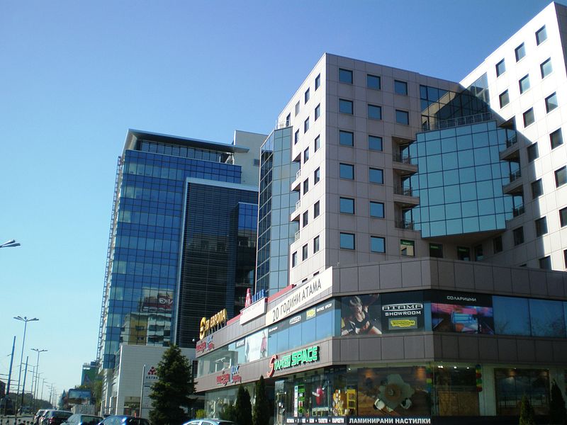
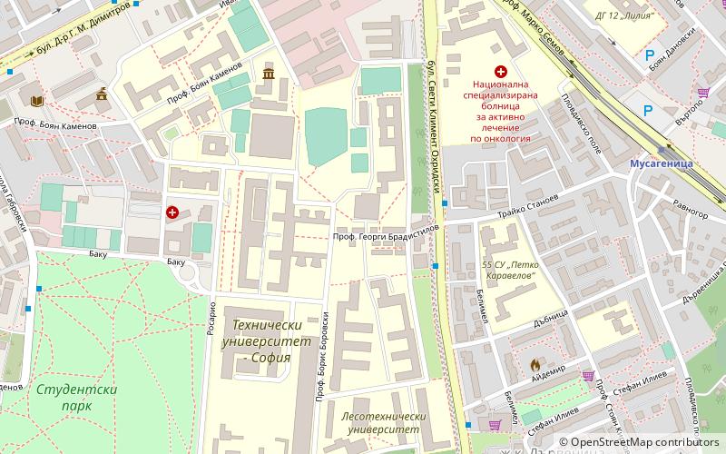
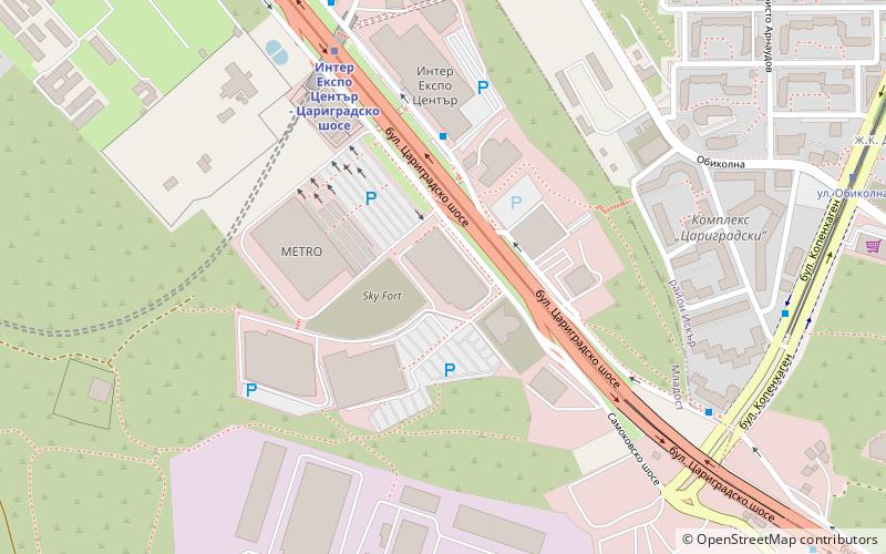
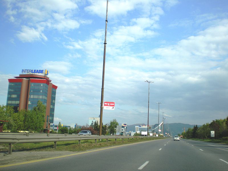
Tsarigradsko shose is the largest boulevard in the capital of Bulgaria, Sofia. The boulevard provides grade-separated dual carriageway in almost its entire length of 11.4 km, running from the north-west to the south-east. It begins in the city center, at Orlov Most, before which it is called Tsar Osvoboditel Boulevard. In its east end, at the Sofia Ring Road, the boulevard becomes part of the Trakia motorway. The maximum allowed speed on Tsarigradsko shose is 80 km/h between Orlov Most and Gorublyane neighbourhood. ()
Local name: Цариградско шосеLength: 7.08 miCoordinates: 42°39'43"N, 23°22'39"E
Address
Младост (Mladost)Sofia
ContactAdd
Social media
Add
Day trips
Tsarigradsko shose – popular in the area (distance from the attraction)
Nearby attractions include: Arena Armeec, The Mall, Museum of Socialist Art, Capital Fort.
Frequently Asked Questions (FAQ)
How to get to Tsarigradsko shose by public transport?
The nearest stations to Tsarigradsko shose:
Bus
Trolleybus
Metro
Tram
Bus
- УМБАЛ Св. Анна • Lines: 1, 204, 213, 3, 304, 305, 5, 505, 6, 604, 76, 84 (3 min walk)
- Хермес Парк • Lines: 1, 204, 213, 3, 304, 305, 5, 6, 604, 76 (6 min walk)
Trolleybus
- УМБАЛ Св. Анна • Lines: 3, 5 (3 min walk)
- УМБАЛ Св. Анна - Ухо • Lines: 3 (6 min walk)
Metro
- Mladost 1 • Lines: M1, M4 (17 min walk)
- Musagenitsa • Lines: M1, M4 (18 min walk)
Tram
- bul. Prof. Tsv. Lazarov • Lines: 20, 23 (22 min walk)
- Ск Цска • Lines: 20, 23 (24 min walk)


