Mladost, Sofia

Gallery (4)
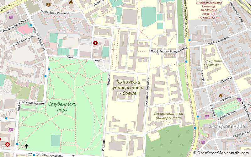
Map

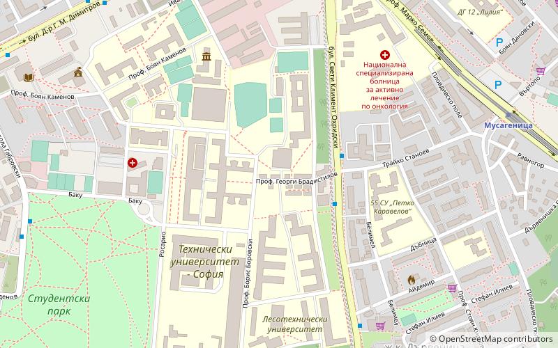
Map
Gallery
Facts and practical information
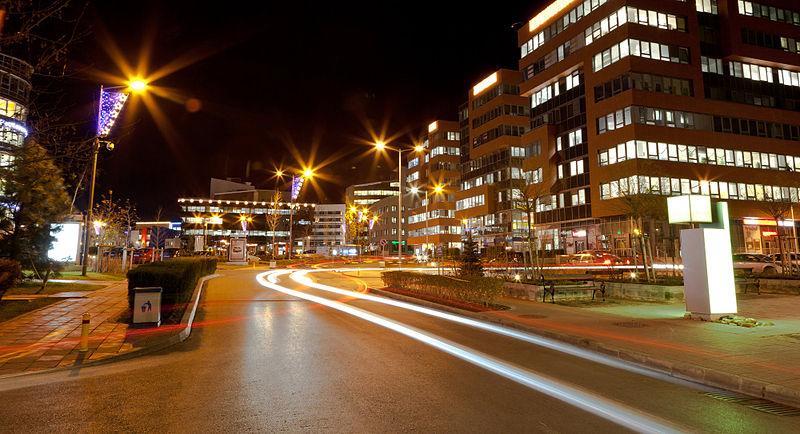
Mladost is a district of Sofia. It is one of the most modern and fast developing areas in the city. As of 2012 it has 114,887 inhabitants which makes it the second-most-populous district in the capital, situated in the south-east end of Sofia, between Druzhba and Vitosha mountain. The largest business complex in Bulgaria is situated in the south end: Business Park Sofia. Mladost is among the safest and cleanest districts of Sofia. In May 2011 it became one of the first neighbourhoods of Sofia to have a complete cycling route of more than 8 km. ()
Address
Младост (Mladost)Sofia
ContactAdd
Social media
Add
Getting there by public transportation
Public transportation stops near this location
- Metro
- Bus
- Trolleybus
 Metro
Metro
- Calculate route144-то СОУ 3 min walk
- Calculate routeбл. 222 ж.к. Младост-2 4 min walk
- Calculate routeAl. Malinov Metro Station 5 min walk
- Calculate routeбл. 327 ж.к. Младост-3 7 min walk
- Calculate routeAlexandar Malinov 7 min walk
- Calculate routeAkademik Aleksandar Teodorov - Balan 9 min walk
- Calculate routeMladost 3 10 min walk
- Calculate routeMladost 1 17 min walk
- Calculate routeбл. 6 ж.к. Младост-1 26 min walk
- Calculate routeУМБАЛ Св. Анна - Ухо 29 min walk
Day trips


Frequently Asked Questions (FAQ)
How to get to Mladost by public transport?
The nearest stations to Mladost:
Bus
Metro
Trolleybus
Bus
- 144-то СОУ • Lines: 113, 213, 314 (3 min walk)
- бл. 222 ж.к. Младост-2 • Lines: 111, 305, 76 (4 min walk)
Metro
- Alexandar Malinov • Lines: M1 (7 min walk)
- Akademik Aleksandar Teodorov - Balan • Lines: M1 (9 min walk)
Trolleybus
- бл. 6 ж.к. Младост-1 • Lines: 5 (26 min walk)
- УМБАЛ Св. Анна - Ухо • Lines: 3 (29 min walk)