Ilinden, Sofia
Map
Facts and practical information
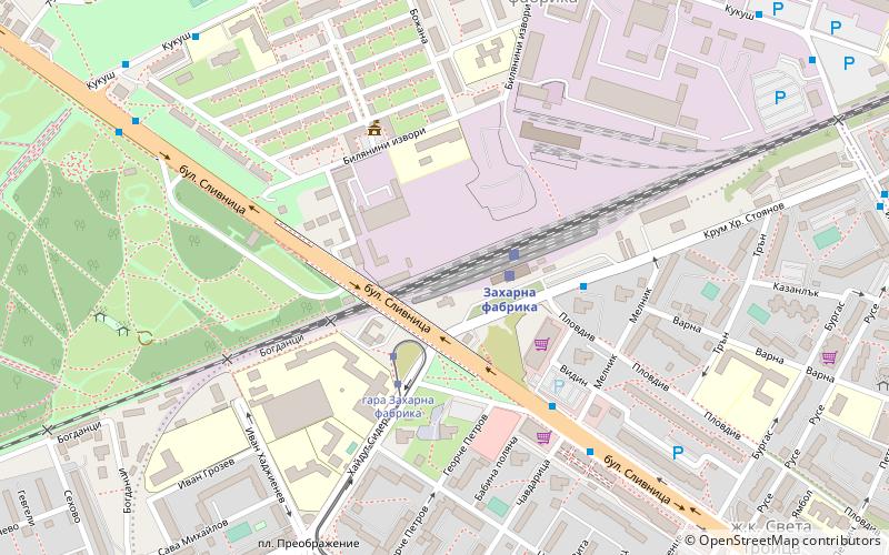
Ilinden is a district of Sofia, located in the western parts of the city. As of 2006 it has 37,256 inhabitants. There are four neighbourhoods: "Zaharna Fabrika", "Gevgeliiski", "Sveta Troitsa" and "Ilinden". ()
Getting there by public transportation
Public transportation stops near this location
- Metro
- Bus
- Trolleybus
- Tram
- Train
 Metro
Metro
- Calculate routeSugar factory 2 min walk
- Calculate routeNadezhda - spirka 21 min walk
- Calculate routeVrabnitsa 28 min walk
- Calculate routeгара Захарна фабрика 3 min walk
- Calculate routeул. Оряхово 5 min walk
- Calculate routeул. Хайдут Сидер 9 min walk
- Calculate routeбл. 35 ж.к. Захарна фабрика 9 min walk
- Calculate routeZaharna Fabrika train station 3 min walk
- Calculate routeul. Hajdut Sider 8 min walk
- Calculate routeul. Zografski Manastir 12 min walk
- Calculate routeул. Йосиф Щросмайер 15 min walk
- Calculate routeул. Оряхово 6 min walk
- Calculate routeVardar 14 min walk
- Calculate routeKonstantin Velichkov 23 min walk
- Calculate routeZapaden park 26 min walk
- Calculate routeHan Kubrat 28 min walk
Day trips


Frequently Asked Questions (FAQ)
How to get to Ilinden by public transport?
The nearest stations to Ilinden:
Train
Bus
Tram
Trolleybus
Metro
Train
- Sugar factory (2 min walk)
- Nadezhda - spirka (21 min walk)
Bus
- гара Захарна фабрика • Lines: 77 (3 min walk)
- ул. Оряхово • Lines: 309, 310, 83 (5 min walk)
Tram
- Zaharna Fabrika train station • Lines: 3 (3 min walk)
- ul. Hajdut Sider • Lines: 3 (8 min walk)
Trolleybus
- ул. Оряхово • Lines: 6, 7 (6 min walk)
Metro
- Vardar • Lines: M1, M4 (14 min walk)
- Konstantin Velichkov • Lines: M1, M4 (23 min walk)