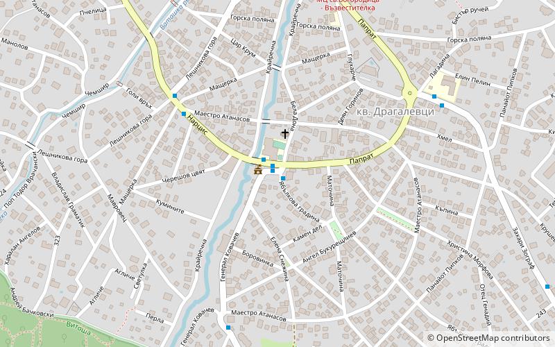
Dragalevtsi, Sofia
Map

Map

Facts and practical information
Dragalevtsi is a neighborhood of Sofia, which is located at the foot of Vitosha Mountain. It is part of the administrative district "Vitosha" of Sofia Municipality. Dragalevtsi is an affluent quarter built up with luxurious one-family country houses, villas and hotels. ()
Local name: ДрагалевциCoordinates: 42°37'44"N, 23°18'35"E
Address
Драгалевци (Dragalevci)Sofia
ContactAdd
Social media
Add
Day trips
Dragalevtsi – popular in the area (distance from the attraction)
Nearby attractions include: Boyana Church, Paradise Center, Sofia Ring Mall, Sofia Land.
Frequently Asked Questions (FAQ)
How to get to Dragalevtsi by public transport?
The nearest stations to Dragalevtsi:
Bus
Bus
- кв. Драгалевци • Lines: 64, 66, 93 (1 min walk)
- ул. Лешникова гора • Lines: 64 (5 min walk)


