Vrabnitsa, Sofia

Map
Facts and practical information
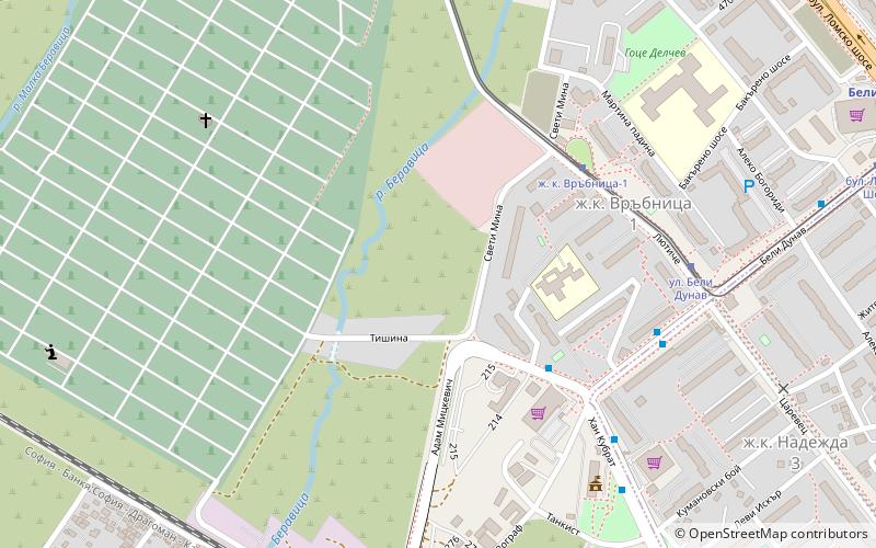
Vrabnitsa is a district of Sofia, located in the western part of the Sofia municipality. It has a population of 47,417. It consists of the following neighbourhoods – Moderno Predgradie, Vrabnitsa & Obelya. ()
Address
Надежда (Nadezda)Sofia
ContactAdd
Social media
Add
Day trips
Vrabnitsa – popular in the area (distance from the attraction)
Nearby attractions include: Mall of Sofia, National Polytechnic Museum, Cathedral of St Joseph, Lions' Bridge.
Frequently Asked Questions (FAQ)
How to get to Vrabnitsa by public transport?
The nearest stations to Vrabnitsa:
Tram
Bus
Train
Metro
Trolleybus
Tram
- zh. k. Vrybnica-1 • Lines: 6 (5 min walk)
- ul. Beli Dunav • Lines: 6 (7 min walk)
Bus
- Община Връбница • Lines: 108, 26, 83 (6 min walk)
- бл. 302 ж.к. Надежда-3 • Lines: 108, 26 (6 min walk)
Train
- Vrabnitsa (10 min walk)
- Obelja (27 min walk)
Metro
- Beli Dunav • Lines: M2 (13 min walk)
- Lomsko shose • Lines: M2 (14 min walk)
Trolleybus
- ул. Орион • Lines: 6, 7 (29 min walk)


