Iskar, Sofia
Map

Map

Facts and practical information
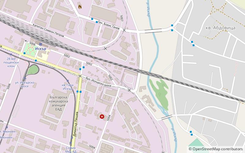
Iskar is a district located in the eastern parts of Sofia. As of 2006 it has 69,896 inhabitants and has an area of 25,6 km2. It includes four neighbourhoods: "Druzhba 1", "Druzhba 2", "Dimitar Milenkov" and Abdovitsa as well as the village of Busmantsi. The district also includes the "Gara Iskar" industrial zone which is situated around the railway station of the same name. ()
Day trips
Iskar – popular in the area (distance from the attraction)
Nearby attractions include: Arena Armeec, The Mall, Museum of Socialist Art, Capital Fort.
Frequently Asked Questions (FAQ)
How to get to Iskar by public transport?
The nearest stations to Iskar:
Bus
Tram
Train
Metro
Bus
- Гара Искър • Lines: 10, 14, 604, 7, 8 (4 min walk)
- кв. Гара Искър • Lines: 7, 8, 88 (5 min walk)
Tram
- kv. Gara Iskyr • Lines: 20 (5 min walk)
- Sofia Med AD • Lines: 20 (8 min walk)
Train
- Iskar (8 min walk)
- Искърско шосе (24 min walk)
Metro
- Iskarsko shose • Lines: M4 (24 min walk)
- Sofia Sveta Gora • Lines: M4 (27 min walk)


