Mount Tenakourou

Gallery (4)
Map

Map
Gallery
Facts and practical information
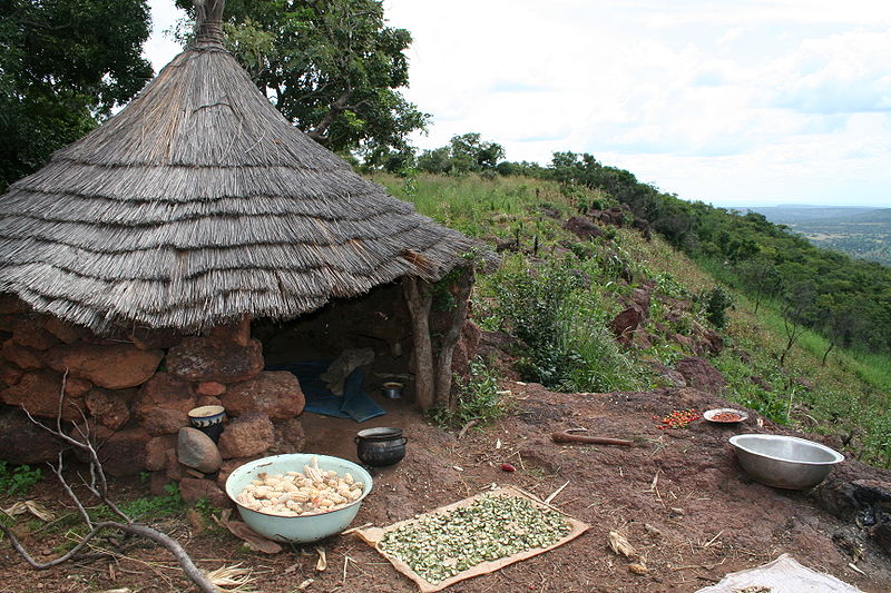
Mount Tenakourou is the highest point in Burkina Faso. It is a hill situated on the border of the Cascades Region of Burkina Faso and the Sikasso Region of the country of Mali, not far from the source of the Black Volta. It has an elevation of 747 metres. The hill is part of Burkina Faso's South-Western Paleozoic sandstone massif and was formed through the incline of the country's Central Plateau. The surrounding terrain is relatively flat and around 400 metres high. ()
Location
Cascades
ContactAdd
Social media
Add