Fort Garry Historical Society, Winnipeg
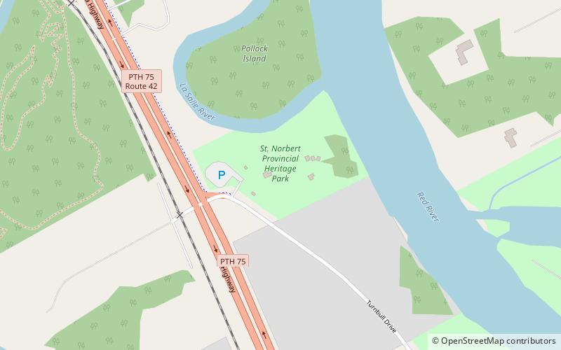
Map
Facts and practical information
The Fort Garry Historical Society was a non-profit organization formed in 1971 and folded in 2016, it mandate was to foster the preservation of heritage sites in St. Norbert and Fort Garry in Winnipeg, Manitoba, Canada. ()
Established: 1971 (55 years ago)Coordinates: 49°45'17"N, 97°8'34"W
Address
Fort Garry (Turnbull Drive)Winnipeg
ContactAdd
Social media
Add
Getting there by public transportation
Public transportation stops near this location
- Bus
 Bus
Bus
- Calculate routeWestbound De L'eglise at St. Pierre 19 min walk
- Calculate routeSouthbound St Pierre at Du Couvent 20 min walk
- Calculate routeEastbound De L'eglise at Pembina 21 min walk
Day trips


Frequently Asked Questions (FAQ)
Which popular attractions are close to Fort Garry Historical Society?
Nearby attractions include St. Norbert Provincial Park, Winnipeg (1 min walk), St Norbert Arts Centre, Winnipeg (13 min walk), Trappist Monastery Provincial Park, Winnipeg (14 min walk), St. Norbert, Winnipeg (20 min walk).
How to get to Fort Garry Historical Society by public transport?
The nearest stations to Fort Garry Historical Society:
Bus
Bus
- Westbound De L'eglise at St. Pierre • Lines: 91 (19 min walk)
- Southbound St Pierre at Du Couvent • Lines: 91 (20 min walk)