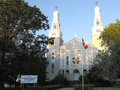
St. Norbert Provincial Park, Winnipeg
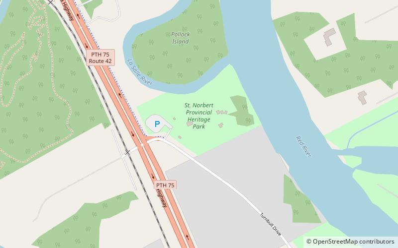
Map
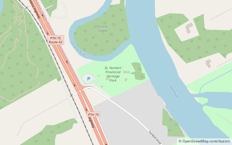
Map

Facts and practical information
Established: 1976 (50 years ago)Area: 13.59 acres (0.0212 mi²)Elevation: 755 ft a.s.l.Coordinates: 49°45'18"N, 97°8'33"W
Day trips
St. Norbert Provincial Park – popular in the area (distance from the attraction)
Nearby attractions include: Trappist Monastery Provincial Park, St Norbert Arts Centre, Fort Garry Historical Society, St. Norbert.
Frequently Asked Questions (FAQ)
Which popular attractions are close to St. Norbert Provincial Park?
Nearby attractions include Fort Garry Historical Society, Winnipeg (1 min walk), St Norbert Arts Centre, Winnipeg (13 min walk), Trappist Monastery Provincial Park, Winnipeg (14 min walk), St. Norbert, Winnipeg (20 min walk).
How to get to St. Norbert Provincial Park by public transport?
The nearest stations to St. Norbert Provincial Park:
Bus
Bus
- Westbound De L'eglise at St. Pierre • Lines: 91 (18 min walk)
- Southbound St Pierre at Du Couvent • Lines: 91 (19 min walk)
