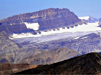
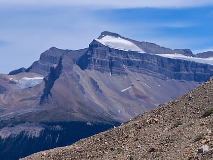
Mount Niles, Yoho National Park
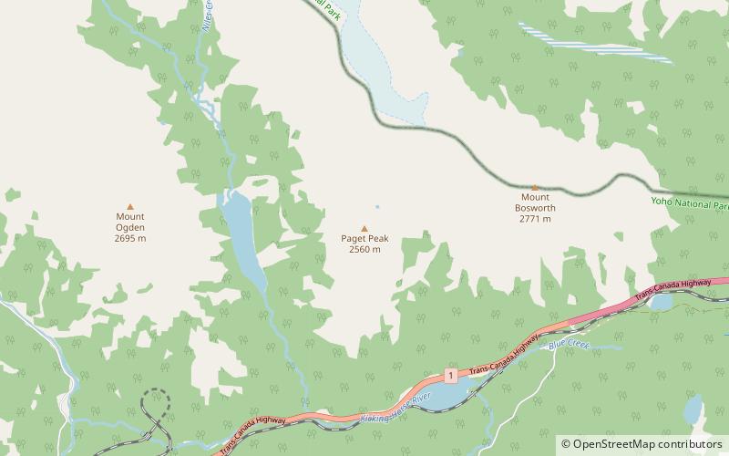
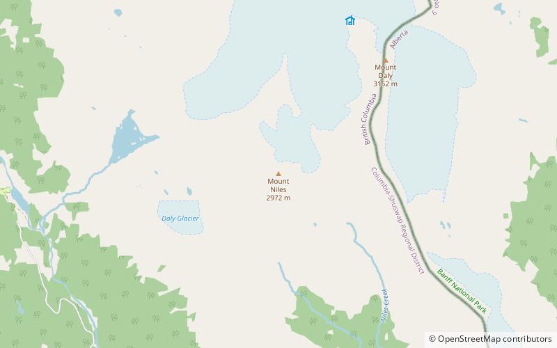
Map
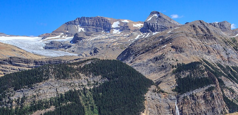
Gallery
Facts and practical information
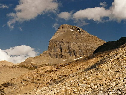
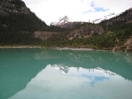
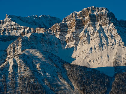
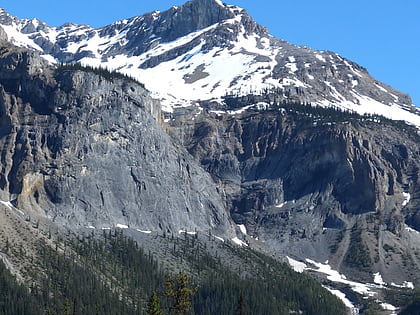
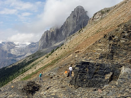
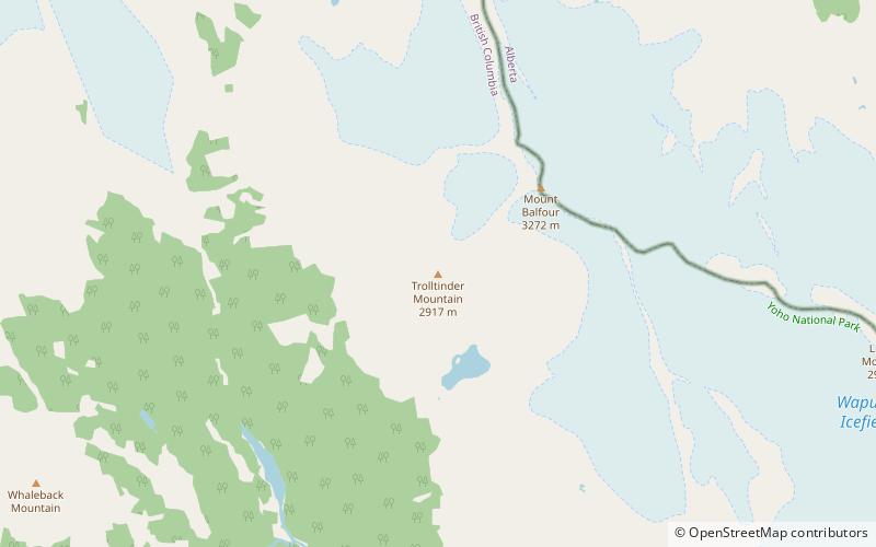
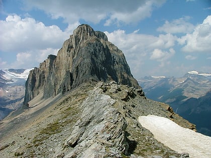
Mount Niles is a 2,967-metre summit located in the Waputik Range of Yoho National Park, in the Canadian Rockies of British Columbia, Canada. Its nearest higher peak is Mount Daly, 1.63 km to the immediate northeast. Takakkaw Falls is situated four km to the west, the Waputik Icefield lies to the north, and Sherbrooke Lake lies to the south. ()
Coordinates: 51°30'17"N, 116°25'14"W
Address
Yoho National Park
ContactAdd
Social media
Add
Day trips
Mount Niles – popular in the area (distance from the attraction)
Nearby attractions include: Takakkaw Falls, Sherbrooke Lake, Pulpit Peak, Paget Peak.
