Burnaby-Deer Lake, Burnaby
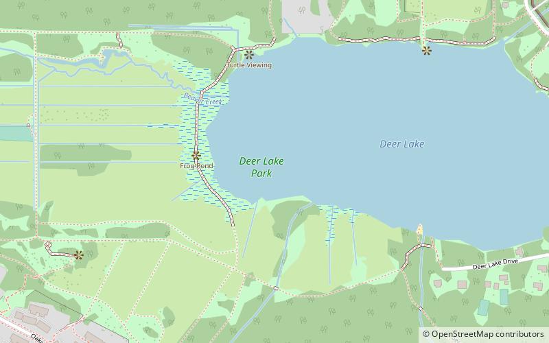
Map
Facts and practical information
Burnaby-Deer Lake is a provincial electoral district in British Columbia, Canada established by the Electoral Districts Act, 2008. It was first be contested in the 2009 general election in which New Democrat, Kathy Corrigan was elected its first MLA, and Anne Kang won the seat in 2017 after Corrigan decided not to run for re-election that year. ()
Coordinates: 49°14'8"N, 122°58'34"W
Address
OakallaBurnaby
ContactAdd
Social media
Add
Day trips
Burnaby-Deer Lake – popular in the area (distance from the attraction)
Nearby attractions include: Metropolis at Metrotown, Burnaby Art Gallery, Burnaby Village Museum & Carousel, Burnaby Village Museum.
Frequently Asked Questions (FAQ)
Which popular attractions are close to Burnaby-Deer Lake?
Nearby attractions include Deer Lake, Burnaby (3 min walk), Burnaby Art Gallery, Burnaby (11 min walk), Burnaby Village Museum, Burnaby (13 min walk), Deer Lake Boat Rentals, Burnaby (13 min walk).
How to get to Burnaby-Deer Lake by public transport?
The nearest stations to Burnaby-Deer Lake:
Bus
Metro
Bus
- Gilpin St at Cedarwood St • Lines: 110 (12 min walk)
- Oakland St at Waltham Ave • Lines: 144 (12 min walk)
Metro
- Royal Oak • Lines: Expo Line (31 min walk)


