Deer Lake, Burnaby
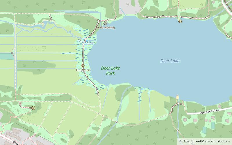
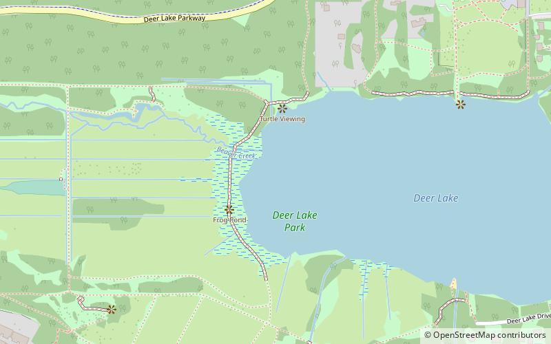
Map
Gallery
Facts and practical information
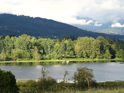
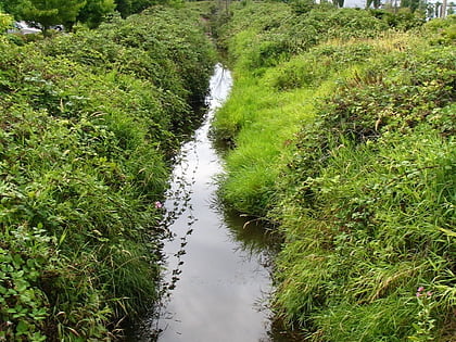
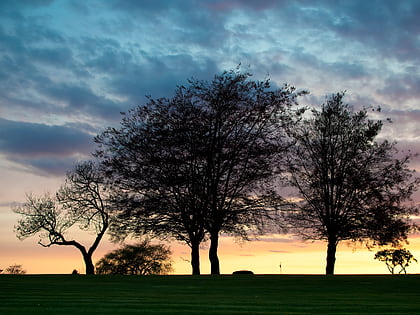
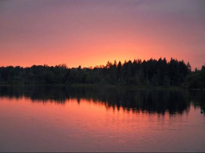
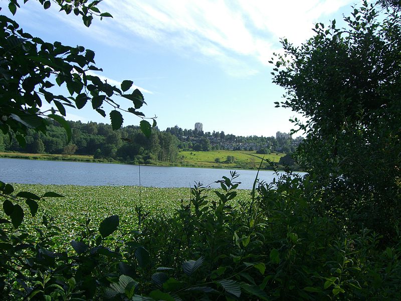
Deer Lake is a lake in central Burnaby, British Columbia, Canada. Deer Lake is home to a wide variety of flora and fauna and features a number of walking trails. These trails connect the lake and its surrounding forests and fields to a number of amenities, including a boat launch, picnic sites, a playground, washrooms, the Burnaby Art Gallery, Shadbolt Centre for the Arts, Burnaby Village Museum, and Century Gardens, as well as the surrounding community and long trails for walking. ()
Elevation: 69 ft a.s.l.Coordinates: 49°14'12"N, 122°58'37"W
Address
OakallaBurnaby
ContactAdd
Social media
Add
Day trips
Deer Lake – popular in the area (distance from the attraction)
Nearby attractions include: Metropolis at Metrotown, Burnaby Art Gallery, Burnaby Village Museum & Carousel, Burnaby Village Museum.
Frequently Asked Questions (FAQ)
Which popular attractions are close to Deer Lake?
Nearby attractions include Burnaby-Deer Lake, Burnaby (3 min walk), Burnaby Art Gallery, Burnaby (10 min walk), Burnaby Village Museum, Burnaby (13 min walk), Burnaby Village Museum & Carousel, Burnaby (13 min walk).
How to get to Deer Lake by public transport?
The nearest stations to Deer Lake:
Bus
Metro
Trolleybus
Bus
- Gilpin St at Cedarwood St • Lines: 110 (9 min walk)
- Deer Lake Ave at Rowan Ave • Lines: 144 (11 min walk)
Metro
- Royal Oak • Lines: Expo Line (33 min walk)
Trolleybus
- Metrotown Station Bay 2 • Lines: 19 (36 min walk)
