Still Creek, Burnaby
Map
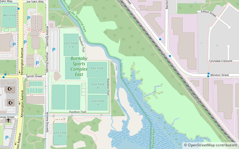
Map

Facts and practical information
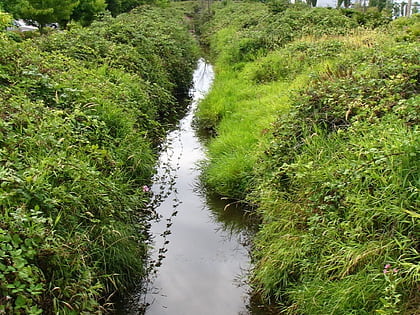
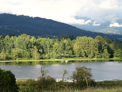
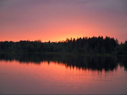
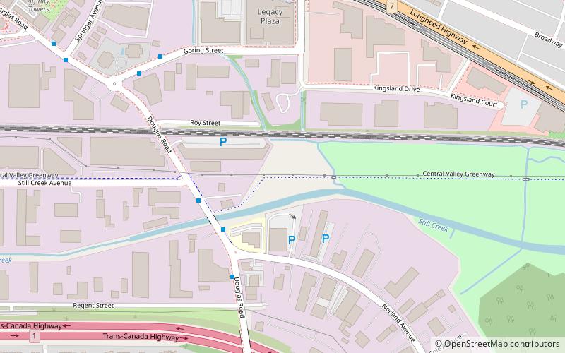
Still Creek is a long stream flowing across Central Burnaby, British Columbia and into Burnaby Lake. Still Creek's path lies mainly through the industrial area which contributes to its high level of pollution, although through dedicated work of local volunteers the creek is slowly recovering. ()
Elevation: 46 ft a.s.l.Coordinates: 49°15'0"N, 122°57'34"W
Address
Burnaby LakeBurnaby
ContactAdd
Social media
Add
Day trips
Still Creek – popular in the area (distance from the attraction)
Nearby attractions include: Burnaby Art Gallery, Burnaby Village Museum & Carousel, Burnaby Village Museum, Burnaby Lake Regional Park.
Frequently Asked Questions (FAQ)
Which popular attractions are close to Still Creek?
Nearby attractions include Burnaby Village Museum & Carousel, Burnaby (20 min walk), Burnaby Lake Regional Park, Burnaby (21 min walk), Burnaby Village Museum, Burnaby (21 min walk), Burnaby Art Gallery, Burnaby (21 min walk).
How to get to Still Creek by public transport?
The nearest stations to Still Creek:
Bus
Metro
Bus
- Winston St at Bainbridge Ave • Lines: 110 (5 min walk)
- Sprott St at Kensington Ave • Lines: 110, 144 (10 min walk)
Metro
- Sperling–Burnaby Lake • Lines: Millennium Line (17 min walk)
- Lake City Way • Lines: Millennium Line (25 min walk)
