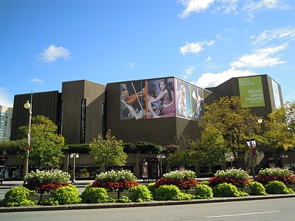
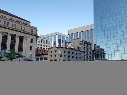
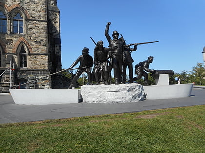
Downtown Ottawa, Ottawa
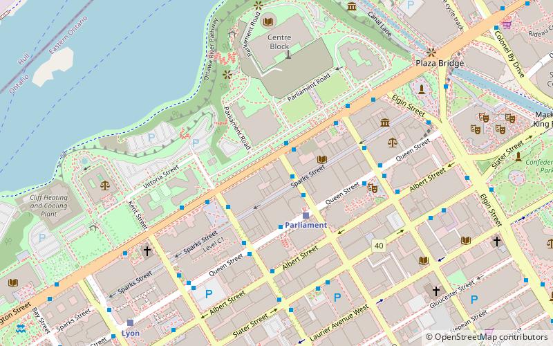
Map
Gallery
Facts and practical information
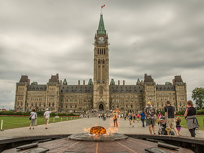
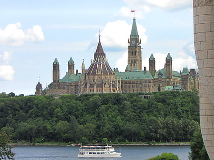
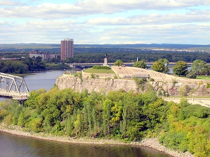
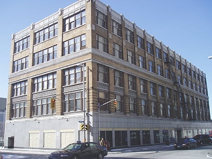
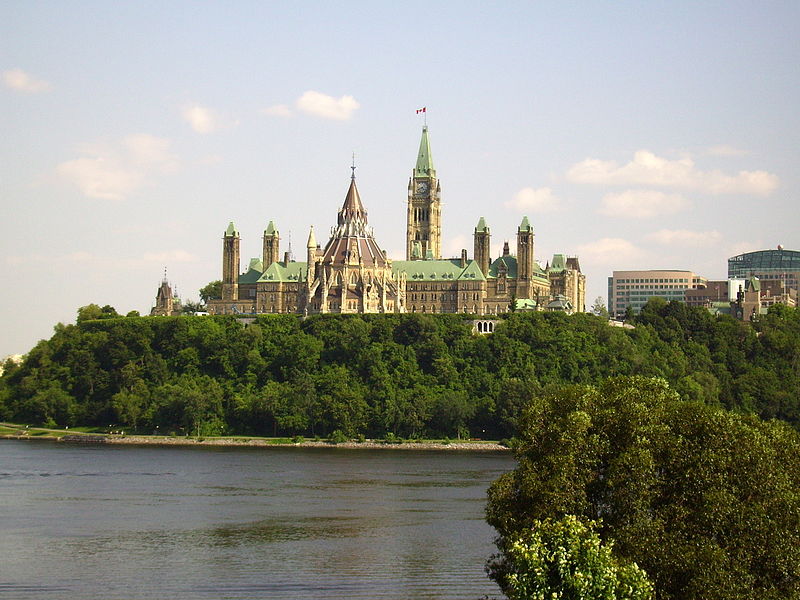
Downtown Ottawa is the central area of Ottawa, Ontario, Canada. It is sometimes referred to as the Central Business District and contains Ottawa's financial district. It is bordered by the Ottawa River to the north, the Rideau Canal to the east, Gloucester Street to the south and Bronson Avenue to the west. This area and the residential neighbourhood to the south are also known locally as 'Centretown'. The total population of the area is 4,876. ()
Area: 0.48 mi²Coordinates: 45°25'20"N, 75°41'60"W
Address
Downtown OttawaOttawa
ContactAdd
Social media
Add
Day trips
Downtown Ottawa – popular in the area (distance from the attraction)
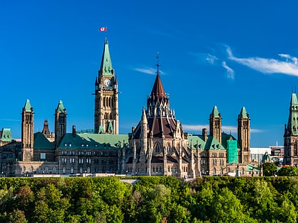
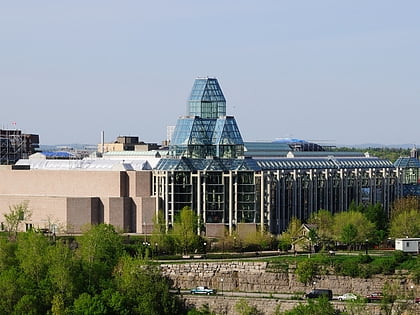
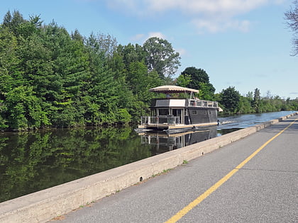
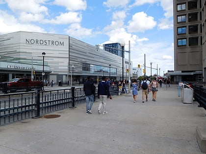
Nearby attractions include: Parliament Hill, National Gallery of Canada, Capital Pathway, Rideau Centre.
Frequently Asked Questions (FAQ)
Which popular attractions are close to Downtown Ottawa?
Nearby attractions include Wellington Building, Ottawa (2 min walk), Portrait Gallery of Canada, Ottawa (3 min walk), West Block, Ottawa (3 min walk), Indigenous Peoples Space, Ottawa (3 min walk).
How to get to Downtown Ottawa by public transport?
The nearest stations to Downtown Ottawa:
Bus
Light rail
Bus
- O'Connor / Sparks • Lines: 18 (1 min walk)
- Wellington/O'Connor • Lines: 11, 17 (2 min walk)
Light rail
- Parliament B • Lines: 1 (2 min walk)
- Lyon B • Lines: 1 (9 min walk)

