Harbourfront, Toronto

Facts and practical information
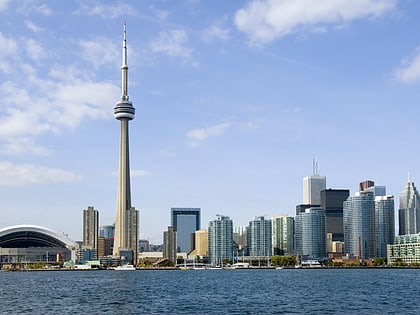
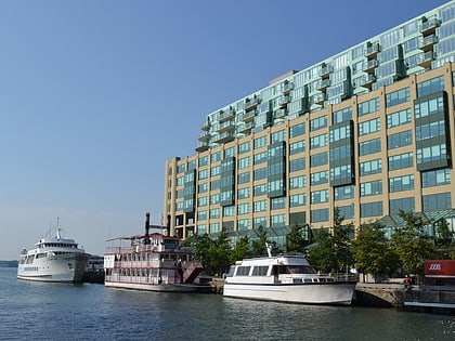
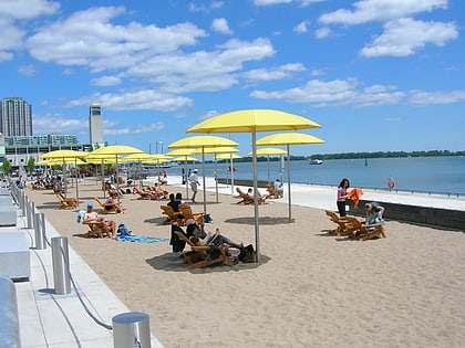
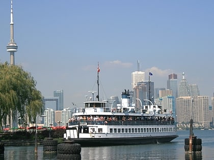
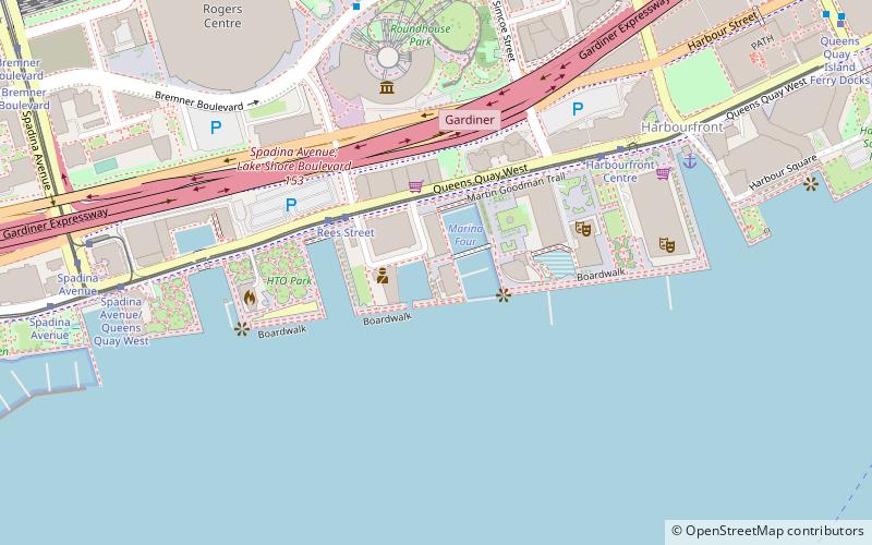
Harbourfront is a neighbourhood on the northern shore of Lake Ontario within the downtown core of the city of Toronto, Ontario, Canada. Part of the Toronto waterfront, Harbourfront extends from Bathurst Street in the west, along Queens Quay, with its ill-defined eastern boundary being either Yonge Street or York Street. Its northern boundary is the Gardiner Expressway. Much of the district was former water lots filled in during the early 1900s to create a larger harbour district. After shipping patterns changed and the use of the Toronto harbour declined, the area was converted from industrial uses to a mixed-use district that is mostly residential and leisure. ()
Downtown Toronto (Harbourfront)Toronto
Harbourfront – popular in the area (distance from the attraction)
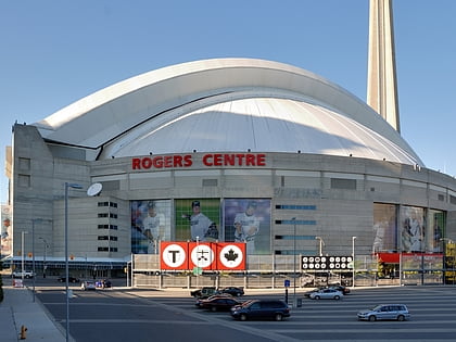
Nearby attractions include: CN Tower, Harbourfront Centre, Rogers Centre, Air Canada Centre.
Frequently Asked Questions (FAQ)
Which popular attractions are close to Harbourfront?
How to get to Harbourfront by public transport?
Tram
- Rees Street • Lines: 509, 510A (3 min walk)
- Harbourfront Centre • Lines: 509, 510A (6 min walk)
Bus
- Harbour Street • Lines: 19 (12 min walk)
- Lake Shore Boulevard West • Lines: 19 (13 min walk)
Train
- Toronto Union Station (13 min walk)
Ferry
- Jack Layton Ferry Terminal • Lines: Toronto Island Ferry, Ward's Island (14 min walk)
- Billy Bishop Terminal • Lines: Billy Bishop Airport Ferry (18 min walk)
Metro
- Union • Lines: 1 (15 min walk)
- St. Andrew • Lines: 1 (18 min walk)

 Subway
 Streetcar system
 PATH
PATH