The Wedge
Map

Gallery

Facts and practical information
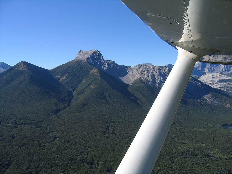
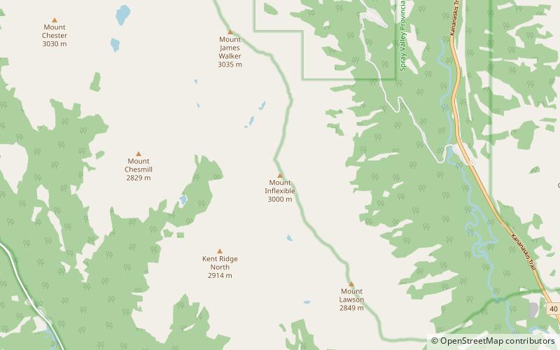
The Wedge is a mountain in Alberta, Canada. It is part of the Fisher Range of the Southern Continental Ranges of the Canadian Rockies. It is located east of Highway 40 just southeast from the K-Country golf course, immediately southeast of Wedge Pond in Kananaskis Country. ()
Elevation: 8743 ftProminence: 2251 ftCoordinates: 50°50'58"N, 115°8'2"W
Location
Alberta
ContactAdd
Social media
Add
Day trips
The Wedge – popular in the area (distance from the attraction)
Nearby attractions include: Golf Course, Mount Kidd, The Fortress, Mount Bogart.


