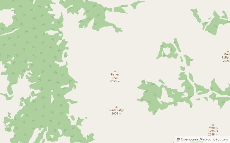
Fisher Peak, Elbow-Sheep Wildland Provincial Park
Map

Map

Facts and practical information
Fisher Peak is a 3,053-metre mountain summit located in the Fisher Range of Kananaskis Country in the Canadian Rockies of Alberta, Canada. Fisher Peak is the highest point in the Fisher Range, so its nearest higher peak is Mount Evan-Thomas, 7.0 km to the southwest in the Opal Range. Precipitation runoff from the mountain drains west into Evan-Thomas Creek, which is a tributary of the Kananaskis River, or east into the Little Elbow River which is a tributary of the Elbow River. ()
Coordinates: 50°48'53"N, 115°1'48"W
Address
Elbow-Sheep Wildland Provincial Park
ContactAdd
Social media
Add
Day trips
Fisher Peak – popular in the area (distance from the attraction)
Nearby attractions include: Mount Glasgow, Mount Packenham, The Wedge, Mount Romulus.


