Banff National Park: Natural Feature
Places and attractions in the Natural feature category
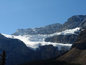
Crowfoot Glacier
Landmark glacier seen from highway below Crowfoot Glacier is located in Banff National Park, Alberta, Canada, 32 km northwest of Lake Louise, and can be viewed from the Icefields Parkway. The glacier is situated on the northeastern flank of Crowfoot Mountain.
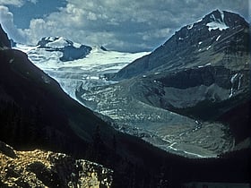
Peyto Glacier
The Peyto Glacier is situated in the Canadian Rockies in Banff National Park, Alberta, Canada, approximately 90 km northwest of the town of Banff, and can be accessed from the Icefields Parkway.
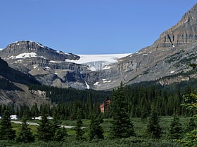
Bow Glacier
Bow Glacier is located in Banff National Park, Alberta, Canada, approximately 37 km northwest of Lake Louise. It can be viewed from the Icefields Parkway.
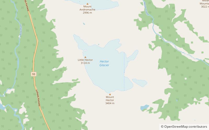
Hector Glacier
Hector Glacier is located in Banff National Park, Alberta, Canada. The glacier is on the north slope of Mount Hector and extends northward for 3 km. In 1938, a large mass of the glacier broke off and covered the valley below with ice up to 60 m thick.
Sundance Range
The Sundance Range is a mountain range in the Canadian Rockies, south of the town of Banff. It is located on the Continental Divide, which forms the boundary between British Columbia and Alberta in this region.
Waputik Range
The Waputik Range lies west of the upper Bow Valley, east of Bath Creek, and south of Balfour Creek in the Canadian Rockies. "Waputik" means "white goat" in Stoney. The range was named by George Mercer Dawson of the Geological Survey of Canada. The President Range lies within the Waputik Range.
Saskatchewan Glacier
The Saskatchewan Glacier is located in Banff National Park, Alberta, Canada, approximately 120 km northwest of the town of Banff, and can be accessed from the Icefields Parkway.
Waputik Mountains
The Waputik Mountains are a mountain range of the Canadian Rockies, located on the Continental Divide between Banff and Yoho National Park. Covering an area of 1,069 square kilometres, the range is located west of the Howse, Blaeberry and Amiskwi Rivers and east of the Bow and Mistaya Rivers and south to Kicking Horse Pass.
Ball Range
The Ball Range is a mountain range on the Continental Divide between Vermilion Pass and Red Earth Pass in Kootenay National Park, Canada. The range is named after John Ball, a politician who helped secure funding for the Palliser expedition.
Vermilion Range
The Vermilion Range is a mountain range of the Canadian Rockies, in Banff National Park, Canada. The range is east of the Sawback Range and west of the Bare and Palliser Ranges.
Map

