Mount Sarbach, Banff National Park
Map

Gallery

Facts and practical information
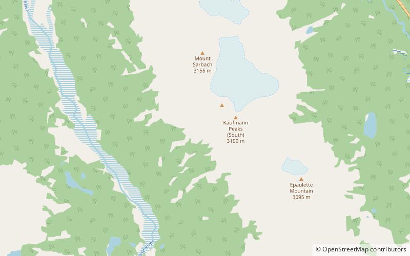
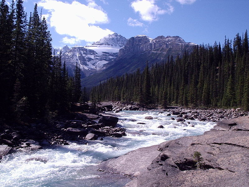
Mount Sarbach is a mountain located in Banff National Park between Mistaya River and Howse River and is visible from the Icefields Parkway. The mountain is named after Peter Sarbach, a mountain guide from Switzerland, who guided the first ascent by J. Norman Collie and G.P. Baker in 1897. Mount Sarbach is situated south of Saskatchewan River Crossing, where the Icefields Parkway intersects with the David Thompson Highway. ()
Alternative names: First ascent: 1897Elevation: 10351 ftProminence: 1352 ftCoordinates: 51°52'35"N, 116°46'1"W
Address
Banff National Park
ContactAdd
Social media
Add
Day trips
Mount Sarbach – popular in the area (distance from the attraction)
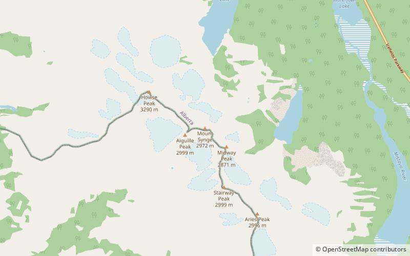
Nearby attractions include: Epaulette Mountain, Mount Outram, Mistaya Canyon, Mount Chephren.


