Howse Peak, Banff National Park
Map

Map

Facts and practical information
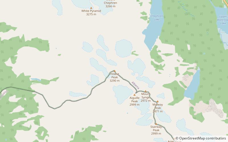
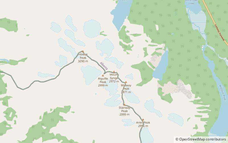
Howse Peak is the highest mountain in the Waputik Mountains, a subrange of the Canadian Rockies. It is located 5 km west of the Icefields Parkway, above Chephren Lake, on the continental divide between Alberta and British Columbia. At 3,295 m, it is the 46th highest peak in Alberta, and the 59th highest in British Columbia. ()
Alternative names: First ascent: 1902Elevation: 10810 ftProminence: 4026 ftCoordinates: 51°48'46"N, 116°40'52"W
Address
Banff National Park
ContactAdd
Social media
Add
Day trips
Howse Peak – popular in the area (distance from the attraction)
Nearby attractions include: Epaulette Mountain, Mount Chephren, Kaufmann Peaks, Mount Patterson.


