FortWhyte Alive, Winnipeg
Map
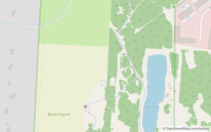
Map

Facts and practical information
FortWhyte Alive is an environmental, education and recreation centre at 1961 McCreary Rd. The large park and recreation facility is located in southwest Winnipeg along the migratory path of Canada geese. ()
Area: 1 mi²Elevation: 755 ft a.s.l.Coordinates: 49°49'39"N, 97°13'27"W
Day trips
FortWhyte Alive – popular in the area (distance from the attraction)
Nearby attractions include: Outlet Collection Winnipeg, Pan Am Pool, Bruce Park, Assiniboine Park Zoo.
Frequently Asked Questions (FAQ)
How to get to FortWhyte Alive by public transport?
The nearest stations to FortWhyte Alive:
Bus
Bus
- Eastbound Tuxedo Business Park at Commerce • Lines: 677 (15 min walk)
- Southbound Kenaston at Commerce • Lines: 74 (19 min walk)


