Bruce Park, Winnipeg
Map
Gallery
Facts and practical information
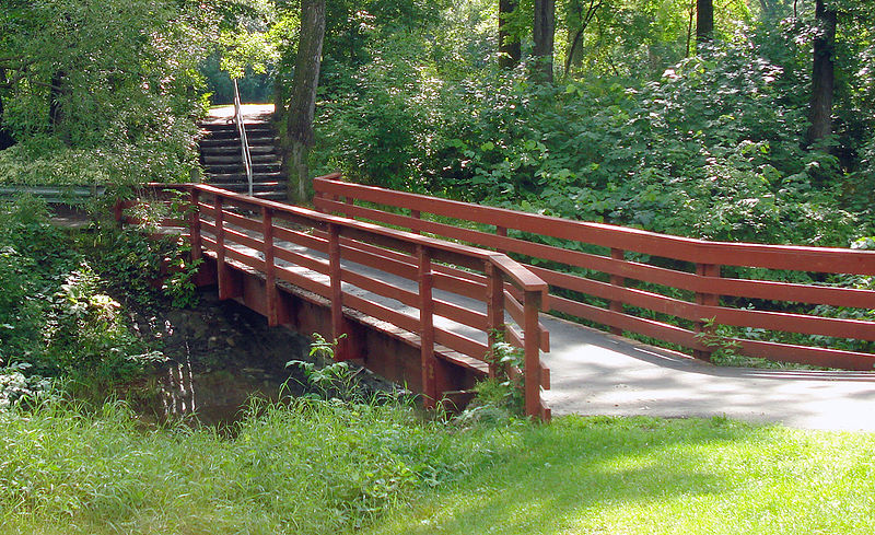
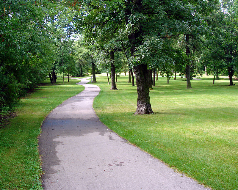
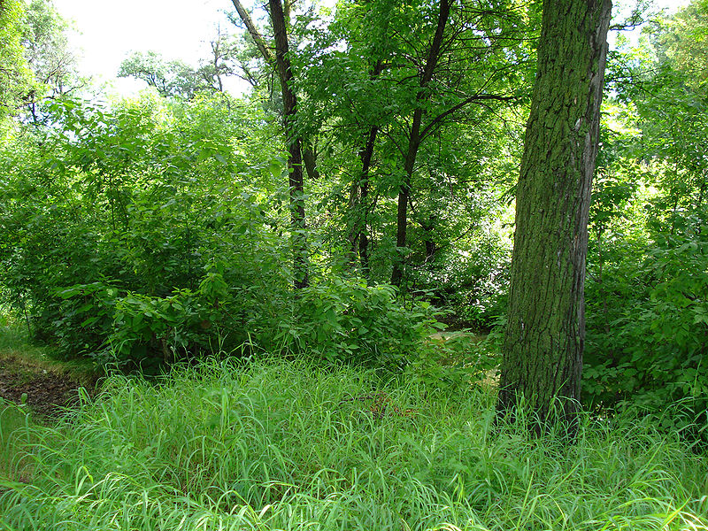
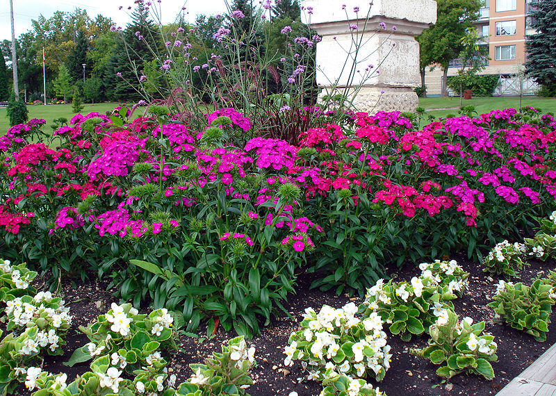
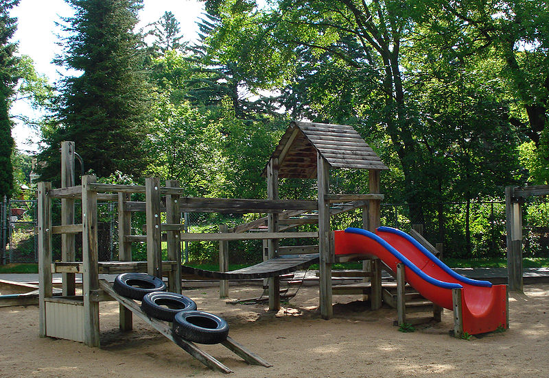
Bruce Park is a 13-acre urban park located at 1966 Portage Avenue, in Winnipeg, Manitoba, Canada. The park is bordered to the south by the Assiniboine River, to the east by Douglas Park Road, to the west by Deer Lodge Place, and to the north by Portage Avenue. ()
Established: 1936 (90 years ago)Area: 13 acres (0.0203 mi²)Coordinates: 49°52'35"N, 97°13'31"W
Address
Saint James-Assiniboia (Bruce Park)Winnipeg
ContactAdd
Social media
Add
Day trips
Bruce Park – popular in the area (distance from the attraction)
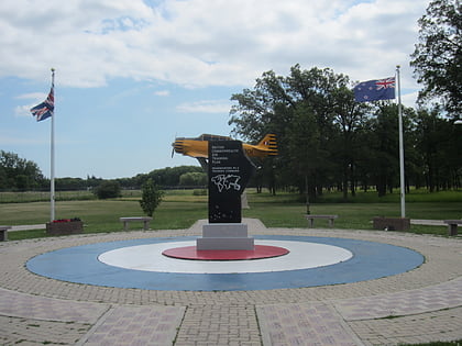
Nearby attractions include: Air Force Heritage Museum and Air Park, Polo Park, Assiniboine Park Zoo, Pavilion Gallery Museum.
Frequently Asked Questions (FAQ)
Which popular attractions are close to Bruce Park?
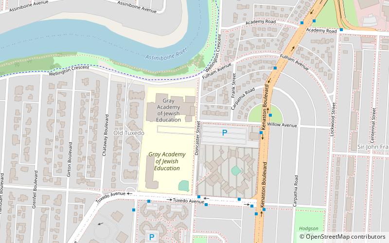
Nearby attractions include Pavilion Gallery Museum, Winnipeg (10 min walk), Assiniboine Park Zoo, Winnipeg (15 min walk), Jewish Heritage Centre, Winnipeg (21 min walk), Tuxedo, Winnipeg (23 min walk).
How to get to Bruce Park by public transport?
The nearest stations to Bruce Park:
Bus
Train
Bus
- Eastbound Portage at Albany • Lines: 11, 21 (4 min walk)
- Westbound Portage at Linwood • Lines: 11, 21 (5 min walk)
Train
- Train Ride (16 min walk)


