Linden Woods, Winnipeg
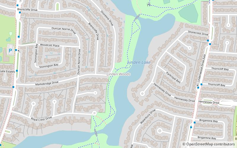
Map
Facts and practical information
Coordinates: 49°50'6"N, 97°11'23"W
Address
Fort Garry (Linden Woods)Winnipeg
ContactAdd
Social media
Add
Getting there by public transportation
Public transportation stops near this location
- Bus
 Bus
Bus
- Calculate routeSouthbound Lindenwood at Thorncliff 7 min walk
- Calculate routeNorthbound Lindenwood at Waterbury North 8 min walk
Day trips


Frequently Asked Questions (FAQ)
How to get to Linden Woods by public transport?
The nearest stations to Linden Woods:
Bus
Bus
- Southbound Lindenwood at Thorncliff • Lines: 642 (7 min walk)
- Northbound Lindenwood at Waterbury North • Lines: 642 (8 min walk)