Terwillegar Park, Edmonton
Map

Map

Facts and practical information
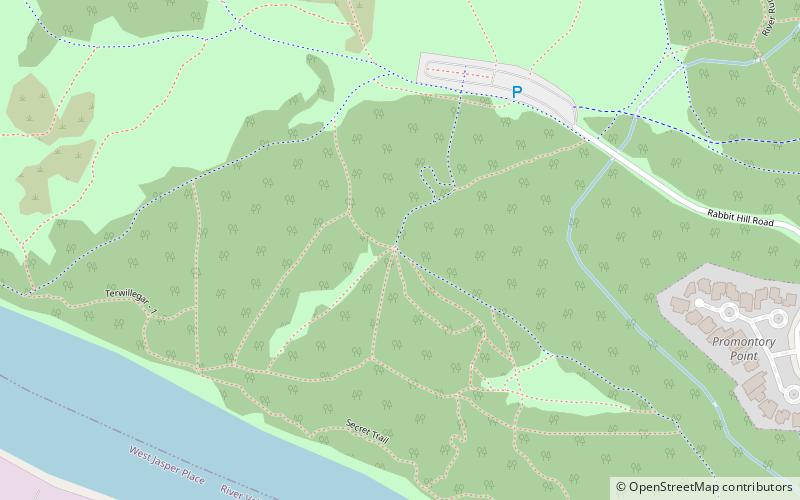
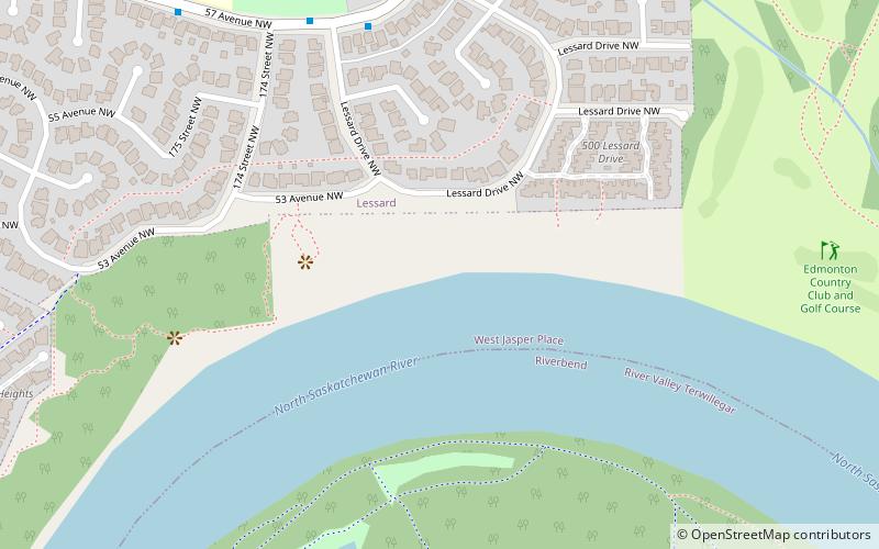
Terwillegar Park is a municipal park in Edmonton, Alberta, Canada that is part of the North Saskatchewan River valley parks system. The park is located on the east bank of the North Saskatchewan River, and features a large off-leash area, mountain bike and hiking trails, as well as a spot to hand launch canoes into the river. ()
Elevation: 2162 ft a.s.l.Coordinates: 53°28'41"N, 113°36'40"W
Day trips
Terwillegar Park – popular in the area (distance from the attraction)
Nearby attractions include: Fort Edmonton Footbridge, Terwillegar Park Footbridge, Donsdale, Edmonton-McClung.
Frequently Asked Questions (FAQ)
Which popular attractions are close to Terwillegar Park?
Nearby attractions include Terwillegar Park Footbridge, Edmonton (15 min walk), Edmonton-McClung, Edmonton (23 min walk), Henderson Estates, Edmonton (24 min walk), Rhatigan Ridge, Edmonton (24 min walk).


