Fort Edmonton Footbridge, Edmonton
Map
Gallery
Facts and practical information
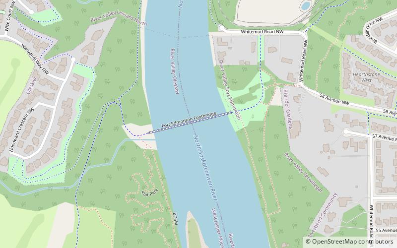
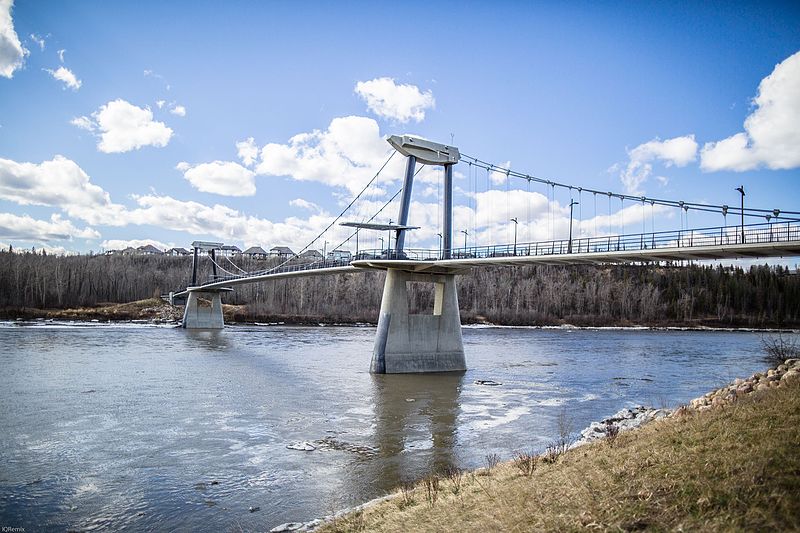
The Fort Edmonton Footbridge is a pedestrian bridge that crosses the North Saskatchewan River in Edmonton, Alberta, Canada. Led by CH2M Hill and designed by HFKS Architects, it is the city's first suspension bridge. The bridge is located southwest of Fort Edmonton Park and connects to the existing multi-use trail system with the new park land on the west side of the river. It officially opened on June 18, 2011. ()
Length: 807 ftWidth: 16 ftCoordinates: 53°29'43"N, 113°35'24"W
Address
Southwest Edmonton (River Valley Terwillegar)Edmonton
ContactAdd
Social media
Add
Day trips
Fort Edmonton Footbridge – popular in the area (distance from the attraction)
Nearby attractions include: Fort Edmonton Park, Beth Israel Synagogue, Quesnell Bridge, Terwillegar Park.
Frequently Asked Questions (FAQ)
Which popular attractions are close to Fort Edmonton Footbridge?
Nearby attractions include Brander Gardens, Edmonton (13 min walk), Fort Edmonton Park, Edmonton (15 min walk), Oleskiw, Edmonton (19 min walk), Edmonton Alberta Temple, Edmonton (23 min walk).
How to get to Fort Edmonton Footbridge by public transport?
The nearest stations to Fort Edmonton Footbridge:
Bus
Bus
- 76 Ave & 156 Street • Lines: 4 (23 min walk)
- 156 Street & 76 Ave • Lines: 4 (23 min walk)

