Calgary Municipal Building, Calgary
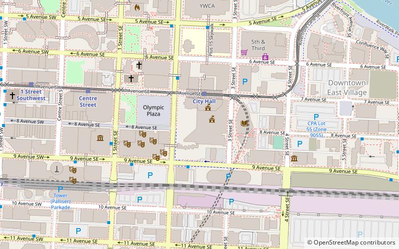
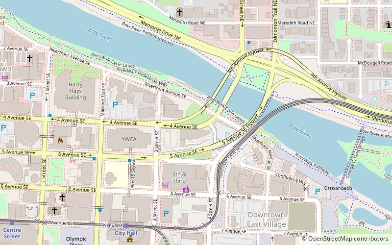
Map

Map

Facts and practical information
The Calgary Municipal Building, often referred to as New City Hall is the seat of local government for the city of Calgary, Alberta, Canada. The building has been the centre for civic administration for the City of Calgary since it opened in 1985 to consolidate city administration, provide council chambers, and complement old Calgary City Hall, which is used as the offices of the mayor and councillors. ()
Completed: 1985 (41 years ago)Height: 185 ftFloors: 14Coordinates: 51°2'44"N, 114°3'25"W
Address
Downtown CalgaryCalgary
ContactAdd
Social media
Add
Day trips
Calgary Municipal Building – popular in the area (distance from the attraction)
Nearby attractions include: Calgary Tower, Fort Calgary, Suncor Energy Centre, Glenbow Museum.
Frequently Asked Questions (FAQ)
Which popular attractions are close to Calgary Municipal Building?
Nearby attractions include Burns Building, Calgary (2 min walk), Calgary City Hall, Calgary (2 min walk), Calgary Public Library, Calgary (3 min walk), Calgary Central Library, Calgary (3 min walk).
How to get to Calgary Municipal Building by public transport?
The nearest stations to Calgary Municipal Building:
Light rail
Bus
Train
Light rail
- City Hall • Lines: 201, 202 (2 min walk)
- Centre Street • Lines: 201, 202 (6 min walk)
Bus
- Stop ID 8075 • Lines: 1 (3 min walk)
- Macleod Trail & 7 Avenue SE • Lines: 300 (3 min walk)
Train
- Calgary (11 min walk)


