Main Street, Vancouver
Map
Map

Facts and practical information
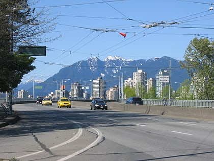
Main Street is a major north–south thoroughfare bisecting Vancouver, British Columbia, Canada. It runs from Waterfront Road by Burrard Inlet in the north, to Kent Avenue alongside the north arm of the Fraser River in the south. ()
Coordinates: 49°15'49"N, 123°8'20"W
Address
FairviewVancouver
ContactAdd
Social media
Add
Day trips
Main Street – popular in the area (distance from the attraction)
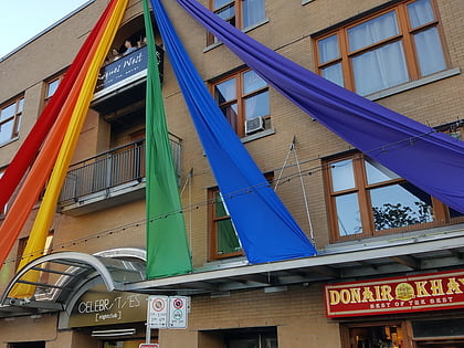
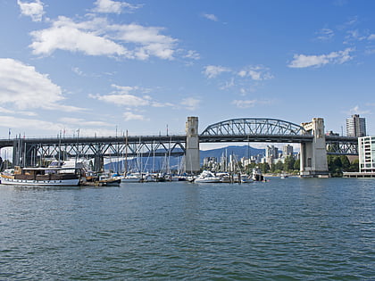
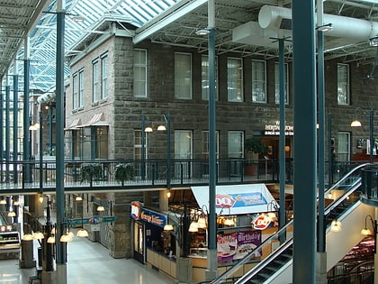
Nearby attractions include: Celebrities Nightclub, Vancouver Maritime Museum, Burrard Street Bridge, Museum of Vancouver.
Frequently Asked Questions (FAQ)
Which popular attractions are close to Main Street?
Nearby attractions include Douglas Reynolds Gallery, Vancouver (3 min walk), Lattimer Gallery, Vancouver (11 min walk), Hycroft Gallery, Vancouver (12 min walk), Gallery of BC Ceramics, Vancouver (13 min walk).
How to get to Main Street by public transport?
The nearest stations to Main Street:
Bus
Trolleybus
Ferry
Metro
Bus
- West Broadway at Granville Street • Lines: 99 (1 min walk)
- Granville Street at West Broadway • Lines: N10 (1 min walk)
Trolleybus
- West Broadway at Granville Street • Lines: 9 (1 min walk)
- Granville Street at West Broadway • Lines: 10, 16 (1 min walk)
Ferry
- Granville Island Terminal • Lines: Aquabus (17 min walk)
- Granville Island Dock • Lines: False Creek Ferries Route 1, False Creek Ferries Route 2, False Creek Ferries Route 3 (18 min walk)
Metro
- Yaletown-Roundhouse • Lines: Canada Line (28 min walk)
- Olympic Village • Lines: Canada Line (28 min walk)

 SkyTrain