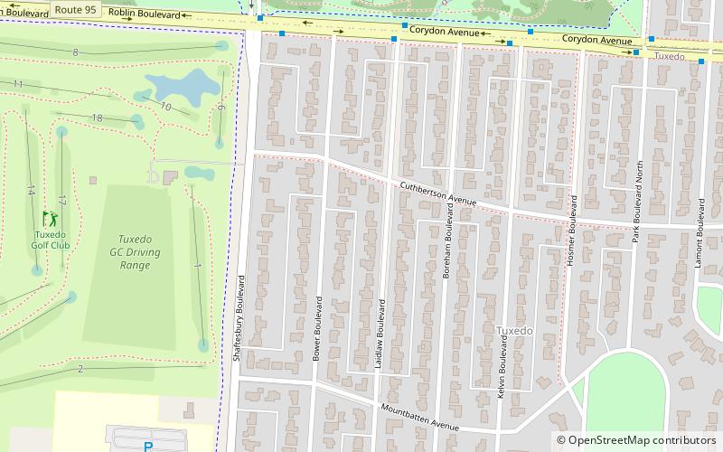
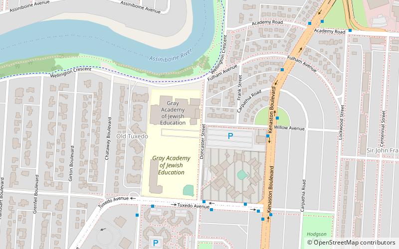
Tuxedo, Winnipeg

Map
Facts and practical information
Tuxedo is a provincial electoral division in the Canadian province of Manitoba. It was created by redistribution in 1979, and has formally existed since the provincial election of 1981. The riding is located in the southwest section of the city of Winnipeg. ()
Coordinates: 49°51'50"N, 97°13'37"W
Day trips
Tuxedo – popular in the area (distance from the attraction)
Nearby attractions include: Bruce Park, Assiniboine Park Zoo, The Golf Dome, Pavilion Gallery Museum.
Frequently Asked Questions (FAQ)
Which popular attractions are close to Tuxedo?
Nearby attractions include Pavilion Gallery Museum, Winnipeg (15 min walk), Assiniboine Park Zoo, Winnipeg (15 min walk), Assiniboine Park, Winnipeg (20 min walk), Bruce Park, Winnipeg (23 min walk).
How to get to Tuxedo by public transport?
The nearest stations to Tuxedo:
Bus
Train
Bus
- Eastbound Corydon at Laidlaw • Lines: 18, 67, 79 (6 min walk)
- Westbound Corydon at Shaftesbury • Lines: 18, 67, 79 (7 min walk)
Train
- Train Ride (16 min walk)


