Floe Lake, Kootenay National Park
Map

Map

Facts and practical information
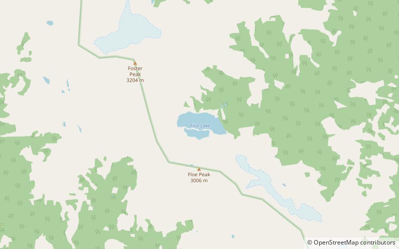
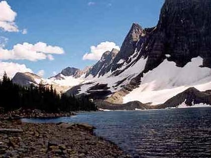
Floe Lake is a lake in Kootenay National Park, British Columbia, Canada. The lake is only accessible by a 10.7 km hiking trail that leaves from a marked trailhead on highway 93. ()
Elevation: 6624 ft a.s.l.Coordinates: 51°3'8"N, 116°8'31"W
Address
Kootenay National Park
ContactAdd
Social media
Add
Day trips
Floe Lake – popular in the area (distance from the attraction)
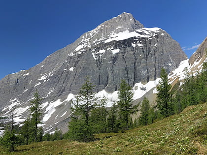
Nearby attractions include: Numa Falls, Tumbling Peak, Foster Peak.


