Tumbling Peak
Facts and practical information
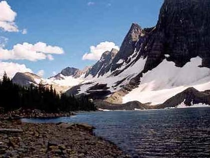
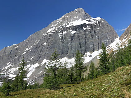
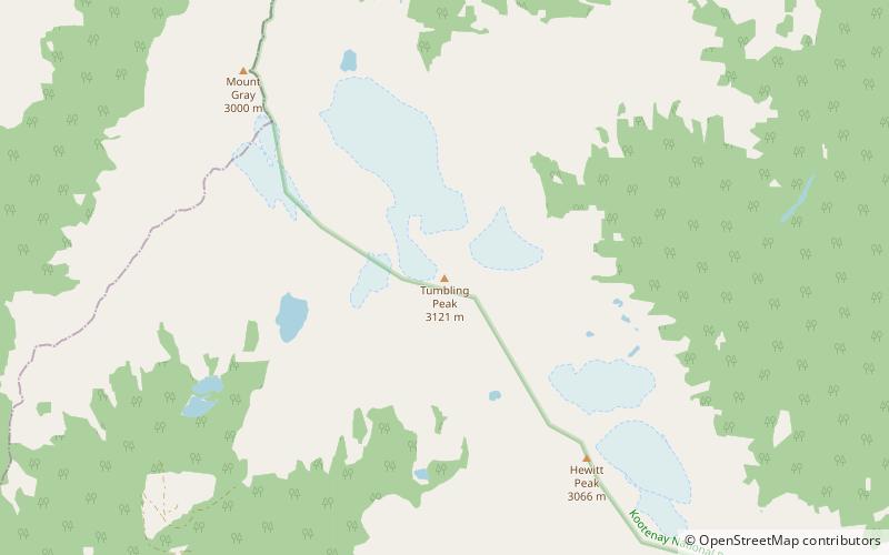
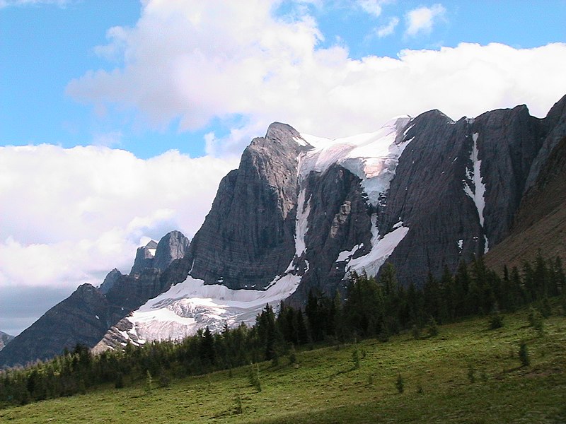
Tumbling Peak is a 3,145-metre mountain summit located on the western border of Kootenay National Park in the Vermilion Range, which is a sub-range of the Canadian Rockies of British Columbia, Canada. The mountain takes its name from the Tumbling Glacier located on its northeast flank. Its nearest higher peak is Foster Peak, 6.8 km to the southeast. Hewitt Peak is also to the southeast, and Mount Gray is to the immediate northwest. The mountain is situated in an area known as the Rockwall, which is an escarpment of the Vermilion Range. The Rockwall Trail is a scenic 55 kilometers traverse of alpine passes, sub-alpine meadows, hanging glaciers, and limestone cliffs, in some places in excess of 900 meters above the trail. ()
British Columbia
Tumbling Peak – popular in the area (distance from the attraction)
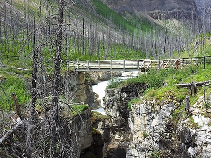
Nearby attractions include: Helmet Falls, Numa Falls, Floe Lake, Marble Canyon.


