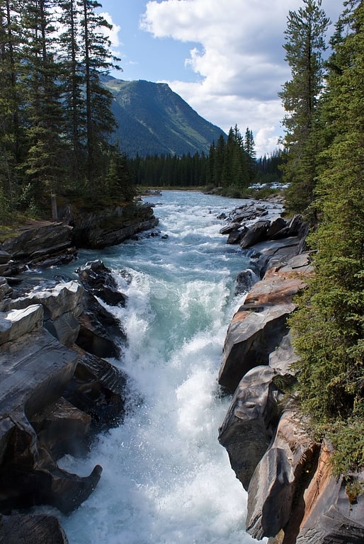
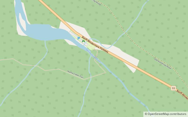
Numa Falls, Kootenay National Park
Gallery (1)
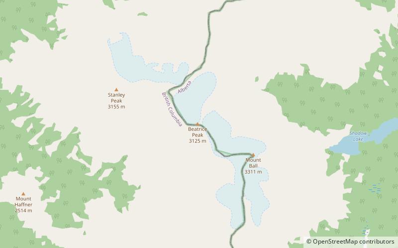
Map
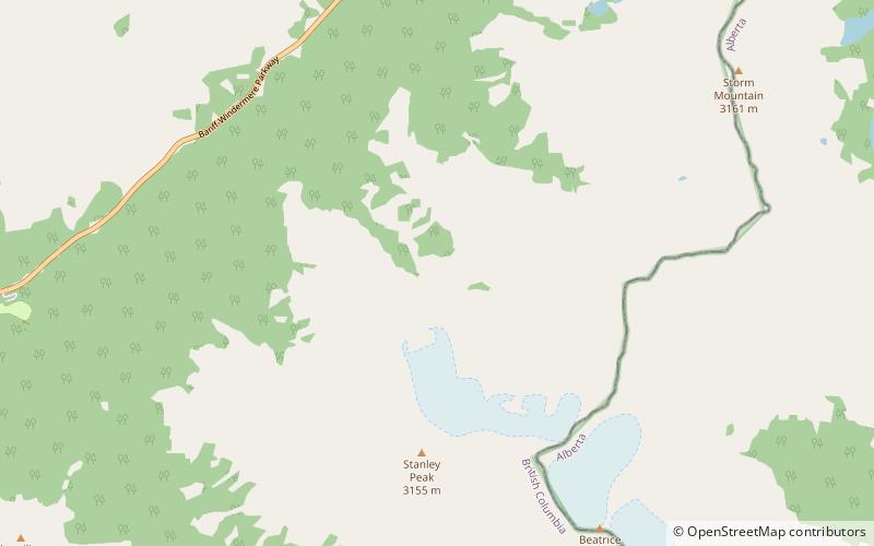
Map
Facts and practical information
Numa Falls is a waterfall of the Vermilion River located in Kootenay National Park, British Columbia, Canada. ()
Elevation: 4567 ft a.s.l.Coordinates: 51°7'56"N, 116°7'55"W
Address
Kootenay Highway 93Kootenay National Park
Contact
+1 888-773-8888
Social media
Add
Day trips