Palliser Pass, Banff National Park
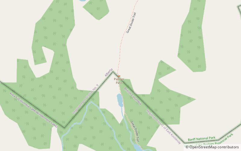
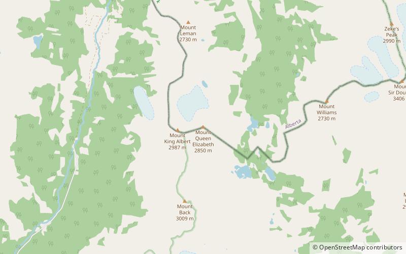
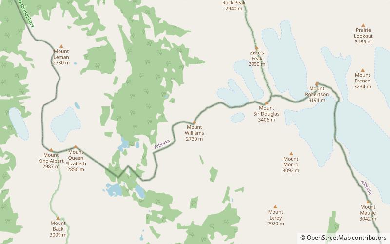
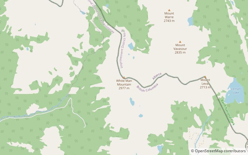
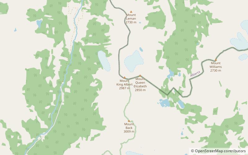
Map
Facts and practical information
Palliser Pass, 2,084 m, is a mountain pass in the Canadian Rockies, located on the British Columbia / Alberta boundary at the south end of Banff National Park and at the north end of Height of the Rockies Provincial Park in British Columbia. The pass is located north of the headwaters of the Palliser River. ()
Coordinates: 50°42'29"N, 115°23'13"W
Address
Banff National Park
ContactAdd
Social media
Add
Day trips
Palliser Pass – popular in the area (distance from the attraction)
Nearby attractions include: Mount Robertson, Mount Jellicoe, Mount Beatty, Mount Sir Douglas.


