Mount Murray
Map

Map

Facts and practical information
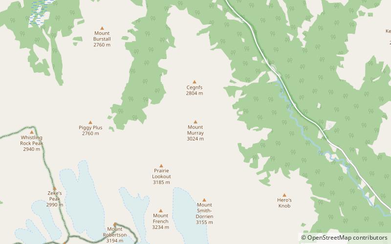
Mount Murray is a 3,026-metre mountain summit in the Spray Mountains range of the Canadian Rockies in Alberta, Canada. The mountain is situated in Peter Lougheed Provincial Park of Kananaskis Country. Its nearest higher peak is Mount French, 2.0 km to the south-southwest. Mount Murray can be seen from Alberta Highway 742, the Smith-Dorrien/Spray Trail. ()
Coordinates: 50°44'58"N, 115°17'34"W
Location
Alberta
ContactAdd
Social media
Add
Day trips
Mount Murray – popular in the area (distance from the attraction)
Nearby attractions include: Chester Lake, Mount Smuts, Commonwealth Peak, Mount Chester.


