Broadway, Vancouver
Map
Gallery
Facts and practical information
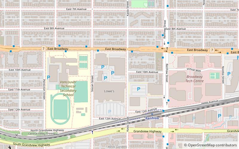
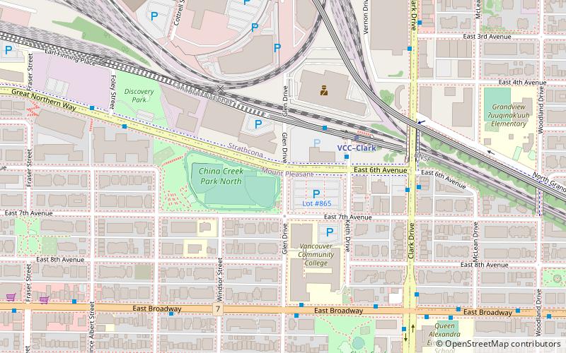
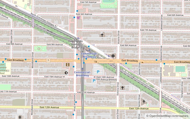
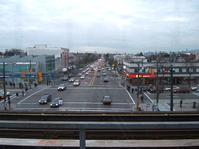
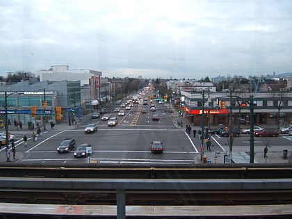
Broadway is a major east–west thoroughfare in the city of Vancouver, British Columbia, Canada. In Vancouver's numbered avenue grid system, it runs in place of a 9th Avenue, between 8th and 10th. The street has six lanes for most of its course. Portions of the street carry the British Columbia Highway 7 designation. ()
Coordinates: 49°15'45"N, 123°4'5"W
Address
Grandview-WoodlandVancouver
ContactAdd
Social media
Add
Day trips
Broadway – popular in the area (distance from the attraction)
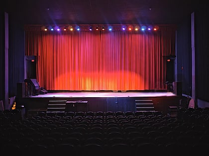
Nearby attractions include: John Hendry Park, Italian Cultural Centre, Rio Theatre, McAuley Park.
Frequently Asked Questions (FAQ)
Which popular attractions are close to Broadway?
Nearby attractions include Little Italy, Vancouver (13 min walk), John Hendry Park, Vancouver (14 min walk), Windsor Way, Vancouver (17 min walk), Grandview–Woodland, Vancouver (23 min walk).
How to get to Broadway by public transport?
The nearest stations to Broadway:
Bus
Metro
Trolleybus
Train
Bus
- Commercial-Broadway Station Bay 5 • Lines: 99 (1 min walk)
- Clark Drive at East Broadway • Lines: 22 (11 min walk)
Metro
- Commercial–Broadway • Lines: Expo Line, Millennium Line (1 min walk)
- VCC-Clark • Lines: Millennium Line (15 min walk)
Trolleybus
- Commercial-Broadway Station Bay 1 • Lines: 9 (2 min walk)
- Commercial-Broadway Station Bay 3 • Lines: 20 (2 min walk)
Train
- Vancouver (24 min walk)
 SkyTrain