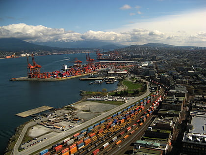
Strathcona, Vancouver
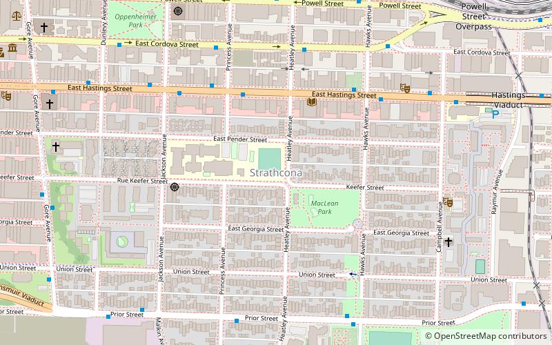
Map
Facts and practical information
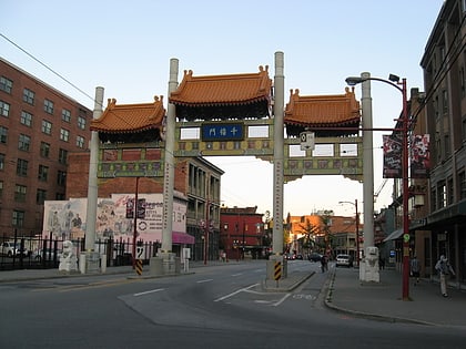
Strathcona is the oldest residential neighbourhood of Vancouver, British Columbia, Canada. Officially a part of East Side, it is bordered by Downtown Vancouver's Chinatown neighbourhood and the False Creek inlet to the west, Downtown Eastside to the north, Grandview-Woodland to the east, and Mount Pleasant to the south of Emily Carr University and the Canadian National Railway and Great Northern Railway classification yards. ()
Area: 1.16 mi²Coordinates: 49°16'46"N, 123°5'24"W
Address
StrathconaVancouver
ContactAdd
Social media
Add
Day trips
Strathcona – popular in the area (distance from the attraction)
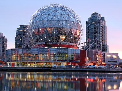
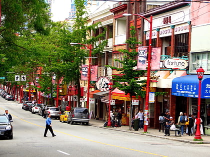
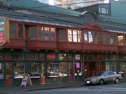
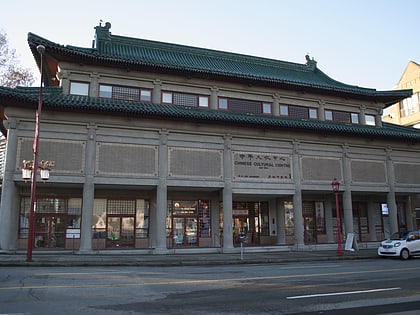
Nearby attractions include: Science World, Fortune Sound Club, Dr. Sun Yat-Sen Classical Chinese Garden, Woodward's Building.
Frequently Asked Questions (FAQ)
Which popular attractions are close to Strathcona?
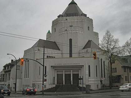
Nearby attractions include Russian Hall, Vancouver (6 min walk), Oppenheimer Park, Vancouver (8 min walk), Strathcona Community Gardens, Vancouver (8 min walk), St. James Anglican Church, Vancouver (10 min walk).
How to get to Strathcona by public transport?
The nearest stations to Strathcona:
Trolleybus
Bus
Train
Metro
Ferry
Trolleybus
- East Hastings St at Princess Ave • Lines: 14, 16, 20 (4 min walk)
- WB East Hastings Street at Princess Avenue • Lines: 14, 16, 20 (4 min walk)
Bus
- Prior St at Princess Ave • Lines: 22 (6 min walk)
Train
- Vancouver Pacific Central (14 min walk)
- Vancouver (20 min walk)
Metro
- Main Street-Science World • Lines: Expo Line (17 min walk)
- Stadium–Chinatown • Lines: Expo Line (23 min walk)
Ferry
- Village Dock • Lines: Aquabus, False Creek Ferries Route 3 (22 min walk)
- Plaza of Nations Dock • Lines: Aquabus, False Creek Ferries Route 3 (25 min walk)
 SkyTrain