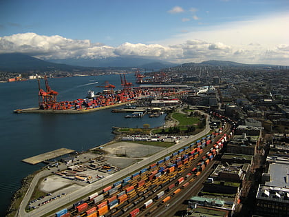
Strathcona Community Gardens, Vancouver

Facts and practical information
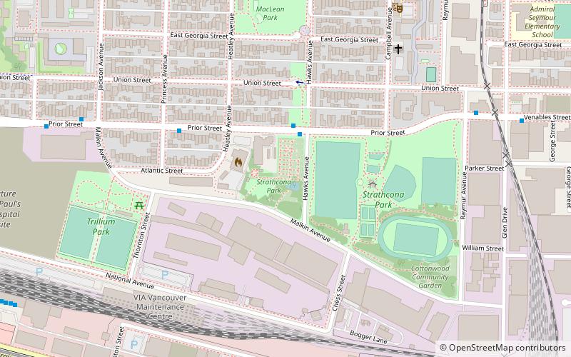
Strathcona Community Gardens (address: 759 Malkin Ave) is a place located in Vancouver (British Columbia province) and belongs to the category of park, relax in park.
It is situated at an altitude of 26 feet, and its geographical coordinates are 49°16'32"N latitude and 123°5'17"W longitude.
Planning a visit to this place, one can easily and conveniently get there by public transportation. Strathcona Community Gardens is a short distance from the following public transport stations: Prior St at Hawks Ave (bus, 2 min walk), East Hastings St at Hawks Ave (trolleybus, 10 min walk), Vancouver Pacific Central (train, 12 min walk), Main Street-Science World (metro, 15 min walk), Village Dock (ferry, 21 min walk).
Among other places and attractions worth visiting in the area are: Russian Hall (concerts and shows, 7 min walk), Strathcona (neighbourhood, 8 min walk), 1000 Parker Street Studios (museum, 10 min walk).
Strathcona Community Gardens – popular in the area (distance from the attraction)
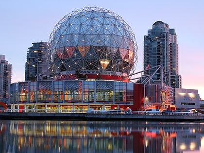
Nearby attractions include: Science World, Fortune Sound Club, Dr. Sun Yat-Sen Classical Chinese Garden, Sam Kee Building.
Frequently Asked Questions (FAQ)
Which popular attractions are close to Strathcona Community Gardens?
How to get to Strathcona Community Gardens by public transport?
Bus
- Prior St at Hawks Ave • Lines: 22 (2 min walk)
- Venables St at Raymur Ave • Lines: 22 (7 min walk)
Trolleybus
- East Hastings St at Hawks Ave • Lines: 14, 16, 20 (10 min walk)
- WB East Hastings Street at Princess Avenue • Lines: 14, 16, 20 (12 min walk)
Train
- Vancouver Pacific Central (12 min walk)
- Vancouver (13 min walk)
Metro
- Main Street-Science World • Lines: Expo Line (15 min walk)
- VCC-Clark • Lines: Millennium Line (21 min walk)
Ferry
- Village Dock • Lines: Aquabus, False Creek Ferries Route 3 (21 min walk)
- Plaza of Nations Dock • Lines: Aquabus, False Creek Ferries Route 3 (26 min walk)
 SkyTrain